
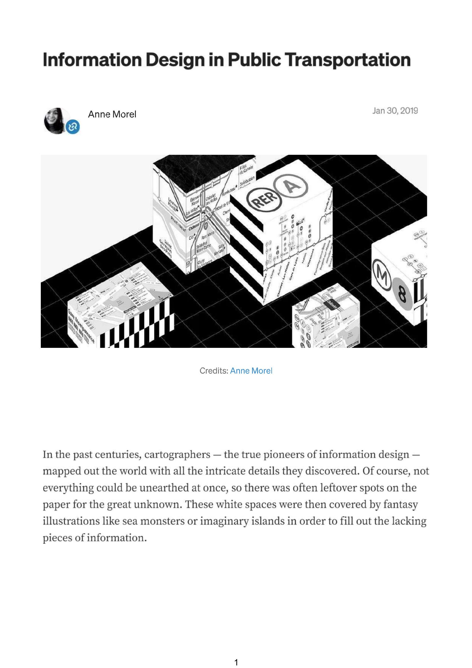
Morel – INFORMATION DESIGN IN PUBLIC TRANSPORTATION 2019
£0.00
A downloadable PDF file for your personal use.
Description
Information design has shifted from filling cartographic “white space” to managing information overload. Harry Beck’s 1930s schematic—prioritizing connectivity over geographic accuracy—became standard for metro maps, but Paris’s high station density and intertwined lines resisted full schematic simplification. Today’s Paris map bundles metros, RER, buses, trams and tourist info into an overcrowded diagram that, along with transit apps, often guides commuters toward the same perceived “optimal” routes. Anne Morel’s month-long travel log shows riders use a limited set of stations—especially transfer hubs—so traffic is uneven and congestion concentrates at key nodes. She argues schematic maps and apps can unintentionally worsen crowding and proposes personalized, real-time route maps that integrate mobility data (crowding, times, accessibility) while keeping UX simple and context-driven. Combined with Mobility-as-a-Service integration, such dynamic, user-centered maps could redistribute passengers, reduce delays and emissions, and help planners optimize infrastructure. The key is collecting and encoding the right data at the right time to deliver tailored route guidance.
Additional information
| Pages | 31 |
|---|---|
| Filesize | 5Mb |
Related products
-
Association of Train Operating Companies – PROVISION OF CUSTOMER INFORMATION 2016
£0.00 Add to basket -
Association of Transport Co-ordinating Officers – PRINTED PUBLIC TRANSPORT INFORMATION 2001
£0.00 Add to basket -

Association of Transport Co-ordinating Officers – PUBLIC TRANSPORT INFORMATION GOOD PRACTICE 2005
£0.00 Add to basket -
Allsop – DETERMINING WHICH REQUIREMENTS OF PUBLIC TRANSPORT USERS IN LARGE CITIES COULD BE MET BY MODERN INFORMATION TECHNOLOGY 1987
£0.00 Add to basket