
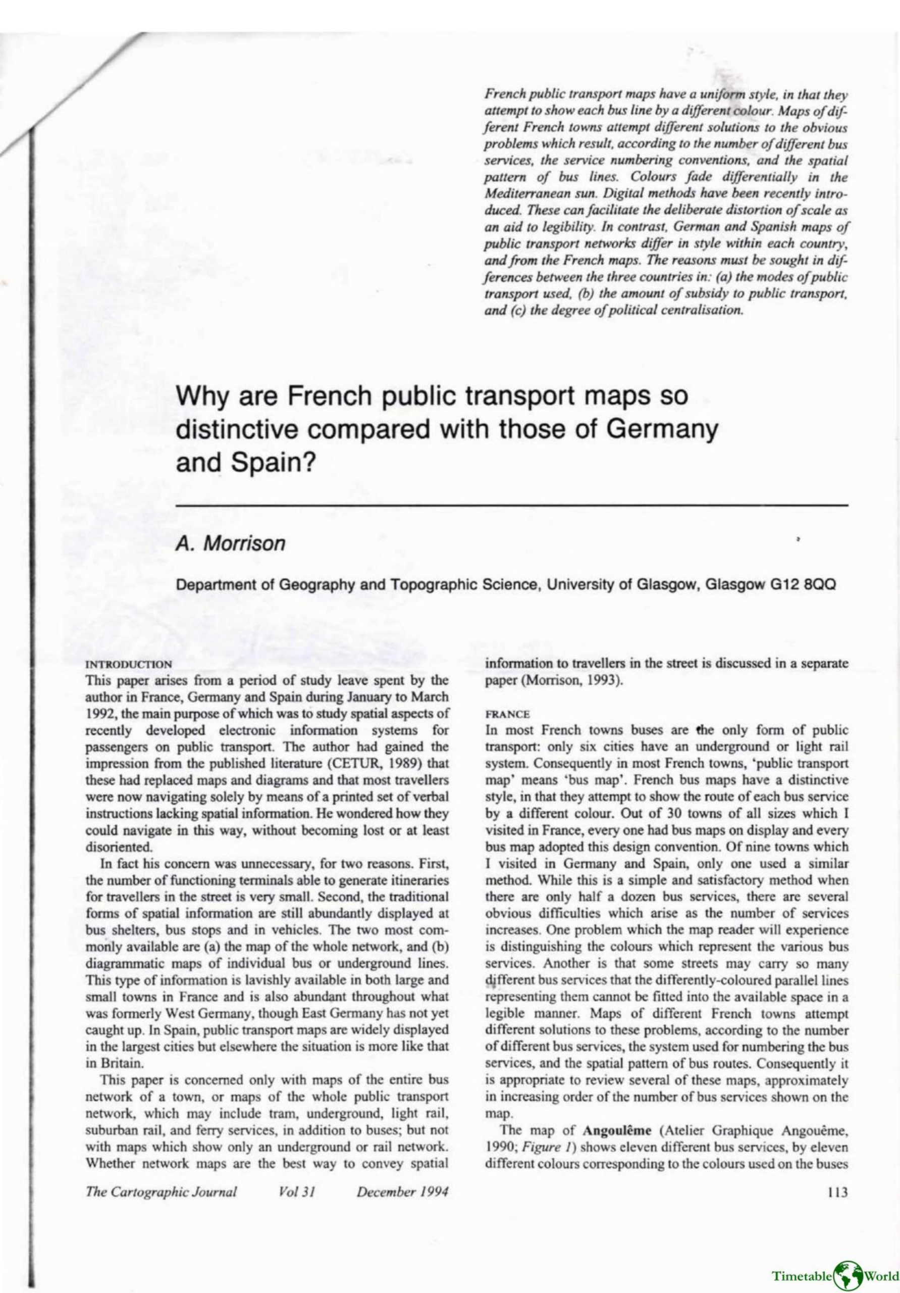
Morrison – WHY ARE FRENCH PUBLIC TRANSPORT MAPS SO DISTINCTIVE COMPARED WITH THOSE OF GERMANY AND SPAIN 1994
£0.00
A downloadable PDF file for your personal use. Timetable World has applied OCR to make the text searchable, and each page carries a small Timetable World logo.
Description
French urban public-transport maps are distinctive for attempting to show each bus service in a separate colour, a convention found ubiquitously across towns the author visited. This approach works where few services or favourable route patterns exist, but creates legibility problems as services increase: similar or faded inks, many parallel lines in central streets, tiny route numbers, and confusion where routes share corridors. French cartographers respond with varied solutions—limiting colours, adding line styles, printing service numbers along routes, enlarging central areas (deliberate distortion), and computer generation. Examples range from clear designs in Bayonne-Biarritz and Strasbourg to overloaded maps in Lyon and Toulon. By contrast, German and Spanish maps vary widely: colours often denote mode (Germany) or route direction/type (Barcelona), and routes are shown with fewer colours plus numbered labels. The paper attributes these national differences to three factors: predominant transport modes (France relies on buses), levels of subsidy (higher in France/Germany than Spain), and political centralisation, which helped diffuse the French ‘one-colour-per-route’ convention.
Additional information
| Pages | 10 |
|---|---|
| Filesize | 4.3Mb |
Related products
-

Association of Train Operating Companies Information Development Group – GOOD PRACTICE GUIDES FOR CUSTOMER INFORMATION 2013
£0.00 Add to basket -
Anon – ONE-DIMENSIONAL TIMETABLES 1993
£0.00 Add to basket -
Anon – PICTURE THE TRANSIT SYSTEM EFFECTIVELY WITH A ROUTE MAP 1970
£0.00 Add to basket -
Allsop – DETERMINING WHICH REQUIREMENTS OF PUBLIC TRANSPORT USERS IN LARGE CITIES COULD BE MET BY MODERN INFORMATION TECHNOLOGY 1987
£0.00 Add to basket