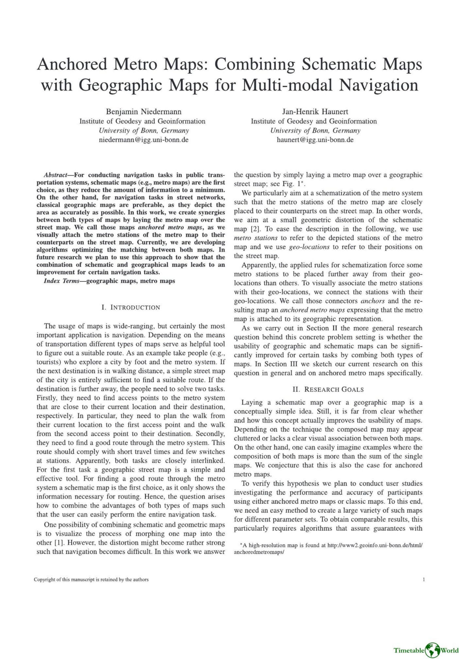
Niemann and Haunert – ANCHORED METRO MAPS 2019
£0.00
A downloadable PDF file for your personal use. Timetable World has applied OCR to make the text searchable, and each page carries a small Timetable World logo.
Description
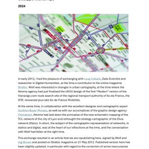
This paper introduces anchored metro maps, a hybrid visualization that overlays schematic metro maps onto geographic street maps and connects each schematic station to its real-world counterpart with anchors. The approach seeks to combine the clarity of schematic maps for transit routing with the spatial accuracy of geographic maps for walking directions, minimizing geometric distortion while preserving the metro network’s topology. Rather than uniformly scaling the schematic map, the authors allow non-uniform edge scaling (preserving edge directions) and formulate the layout as a mathematical optimization: hard constraints (e.g., no edge crossings) preserve design rules, while a quadratic objective minimizes Euclidean displacement between stations and geo-locations. A dynamic programming post-processing step refines station positions. Prototype implementations on Vienna’s network show promising small displacements. Future work includes expert interviews, algorithm refinements (e.g., preventing anchors from crossing lines), and user studies to test whether anchored maps improve navigation performance; the tools also support human-in-the-loop map design.
Additional information
| Pages | 2 |
|---|---|
| Filesize | 0.9Mb |