Anon – PICTURE THE TRANSIT SYSTEM EFFECTIVELY WITH A ROUTE MAP 1970
£0.00
A downloadable PDF file for your personal use. Timetable World has applied OCR to make the text searchable, and each page carries a small Timetable World logo.
Description
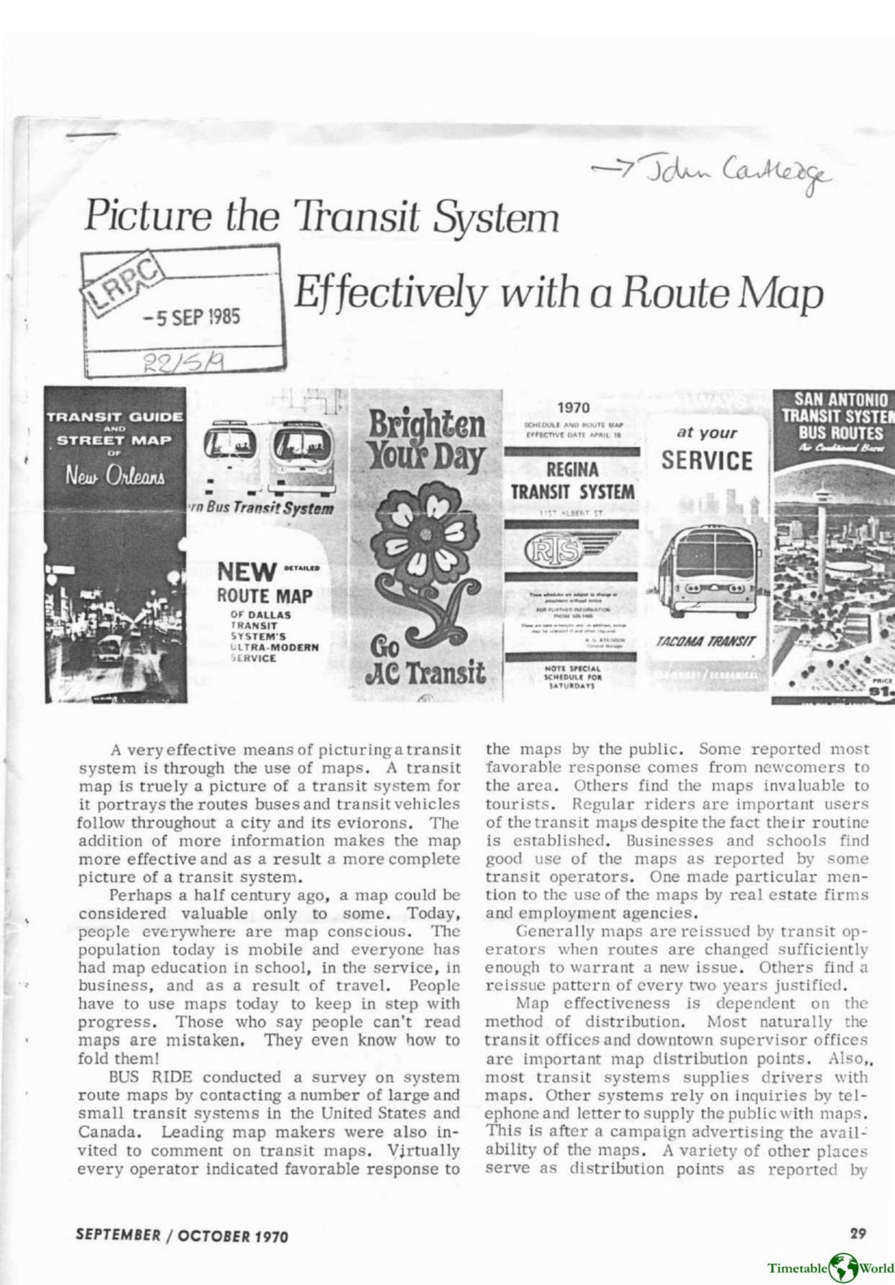
Transit system route maps are essential tools that visually portray bus and transit routes, streets, points of interest, timetables and fare information, serving newcomers, tourists, regular riders, businesses and public institutions. A BUS RIDE survey found most operators issue maps free, reprinting when routes change or on a roughly biennial cycle, and distribute them via transit offices, drivers, hotels, city halls and visitor centers. Increasingly, systems hire professional mapmakers to produce detailed, often full-color maps with numbered routes, downtown insets, schedules and rider information. Notable examples include AC Transit’s two-map program (a tourist-friendly booklet and a mass-distribution folded map), Ashburn Maps’ acclaimed four-color Milwaukee, Houston, Atlanta and Miami maps, H.M. Gousha’s San Antonio and Seattle maps, and other strong efforts from Regina, Dallas, Chicago, New Orleans, Pittsburgh and Cedar Rapids. Overall, high-quality maps are proving effective and popular as the most complete picture of a transit system.
Additional information
| Pages | 3 |
|---|---|
| Filesize | 1.2Mb |