
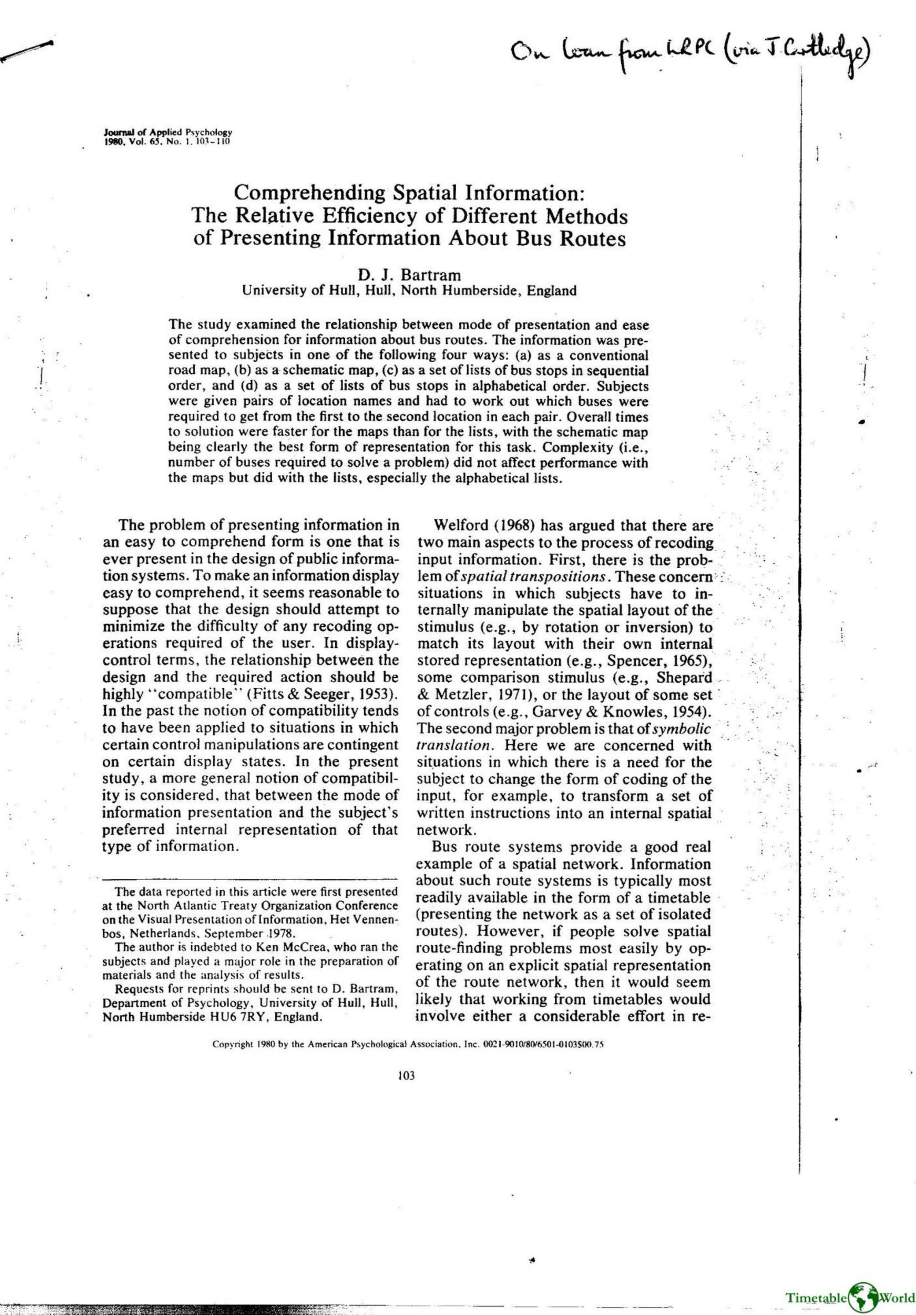
Bartram – COMPREHENDING SPATIAL INFORMATION 1980
£0.00
A downloadable PDF file for your personal use. Timetable World has applied OCR to make the text searchable, and each page carries a small Timetable World logo.
Description
Bartram investigated how four presentation modes—conventional road map, schematic map, sequential lists of stops, and alphabetical lists—affect comprehension of bus-route information. Thirty-two undergraduates solved route-finding problems requiring two to four buses while location and total solution times were recorded. Results showed maps produced faster solutions than lists, with the schematic map yielding the best performance. Task complexity (more transfers) degraded performance for list formats—especially alphabetical lists—but had little effect for maps. Subjects using lists tended to apply deductive, memory-heavy strategies rather than forming spatial state representations, explaining poor performance on complex problems. The road map allowed locating specific addresses and landmarks (an advantage over schematic maps), but required more spatial recoding. Bartram concludes people internally represent place relations as spatial networks, so representations that explicitly show spatial relations (ideally a schematized map that preserves useful landmarks) are most compatible and effective for route-finding, particularly as system complexity increases.
Additional information
| Pages | 8 |
|---|---|
| Filesize | 3.3Mb |
Related products
-
Association of Train Operating Companies – PRESENTATION OF TIMETABLE INFORMATION 1997
£0.00 Add to basket -
Anon – ONLY CONNECT 1987
£0.00 Add to basket -
Association of Transport Co-ordinating Officers – PRINTED INFORMATION AT BUS STOPS 2004
£0.00 Add to basket -
Allsop – DETERMINING WHICH REQUIREMENTS OF PUBLIC TRANSPORT USERS IN LARGE CITIES COULD BE MET BY MODERN INFORMATION TECHNOLOGY 1987
£0.00 Add to basket