
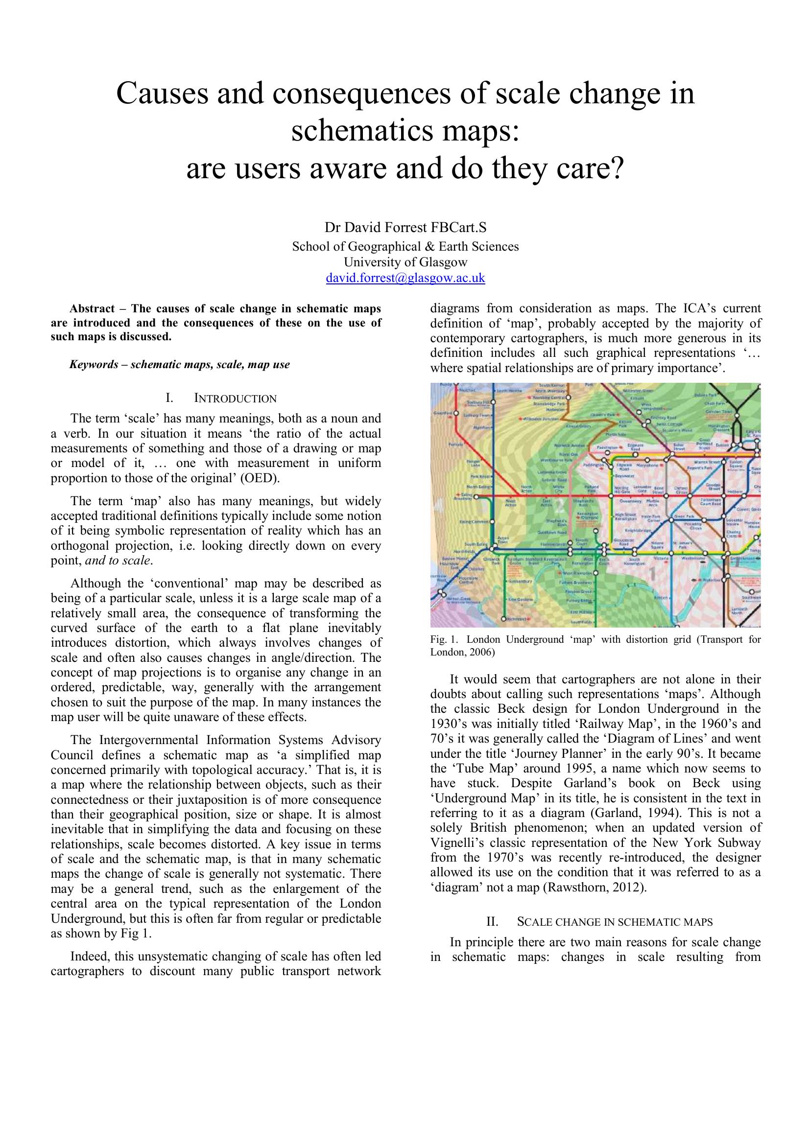
Forrest – CAUSES AND CONSEQUENCES OF SCALE CHANGE IN SCHEMATICS MAPS 2014
£0.00
A downloadable PDF file for your personal use.
Description
This paper examines why and how scale changes occur in schematic maps—especially transport diagrams—and the effects on users. Scale distortion arises from network simplification, expanding dense information zones for legibility, and aesthetic manipulation; unlike systematic map projections, schematic distortions are often irregular and directional. Designers debate whether such diagrams qualify as maps, yet modern definitions accept them when spatial relationships are primary. Techniques to manage scale include insets, systematic focal distortions (magnifying-glass, polyfocal), octopus/spider maps, and temporal scaling by travel time. Users are generally unaware of scale variation because schematic symbols lack visual cues; familiar geographic context (rivers, streets) aids comprehension. Distortions matter when route choices exist: map distance strongly biases route selection—often twice as influential as travel time—potentially degrading journey efficiency. Remedies include showing walking links, link travel times, or interactive, route-specific replotting. Li’s four schematisation principles (topology, main structure, relativity in position and length) guide design, but the author argues for adding user-focused principles emphasizing travel time and end-to-end journey planning.
Additional information
| Pages | 7 |
|---|---|
| Filesize | 0.5Mb |
Related products
-

Association of Train Operating Companies Passenger Information Strategy Group – GOOD PRACTICE GUIDES FOR PROVIDING INFORMATION TO PASSENGERS 2008
£0.00 Add to basket -
Allard – THE DESIGN OF PUBLIC TRANSPORT MAPS 2009
£0.00 Add to basket -
Anceresi, Gatti, Vecchi, Marelli and Rinaldi – A MAP OF WORDS 2023
£0.00 Add to basket -
Attoma – MAPPING MOBILITY 2024
£0.00 Add to basket