Garland, Haynes and Grubb – TRANSIT MAP COLOR CODING AND STREET DETAIL 1979
£0.00
A downloadable PDF file for your personal use. Timetable World has applied OCR to make the text searchable, and each page carries a small Timetable World logo.
Description
This study examined how transit map color coding and street-detail affect users’ ability to plan complex bus trips. Using 77 university students, researchers compared four Fort Worth map types: OTC (official, color, high detail), OTB (black-and-white, high detail), SMR (stick-route, clearer but less detail), and MJR (major-streets grid, reduced minor-street detail). Dependent measures included planning accuracy, time, perceived difficulty, frustration, and confidence. Results showed map type significantly affected accuracy, difficulty in choosing buses, frustration, and confidence, but not planning time or time estimates. The OTB (detailed but no color) produced the most errors and lowest confidence; the OTC (detailed with color) yielded the least frustration and greatest confidence. The MJR (reduced detail with major-street grid) performed nearly as well as OTC, suggesting a cost-effective alternative to color printing. Subjects reported poor print size/contrast and difficulty correlating maps. Authors note sample and design limitations and recommend further research and improved map readability or map-reading education.
Additional information
| Pages | 12 |
|---|---|
| Filesize | 4.2Mb |
Related products
-
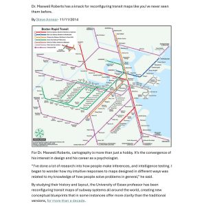
Annear – A TWIST ON THE MBTAS MAP DESIGN 2014
£0.00 Add to basket -
Anon – ONE-DIMENSIONAL TIMETABLES 1993
£0.00 Add to basket -
Anceresi, Gatti, Vecchi, Marelli and Rinaldi – A MAP OF WORDS 2023
£0.00 Add to basket -
Association of Transport Co-ordinating Officers – PRINTED PUBLIC TRANSPORT INFORMATION 2001
£0.00 Add to basket