
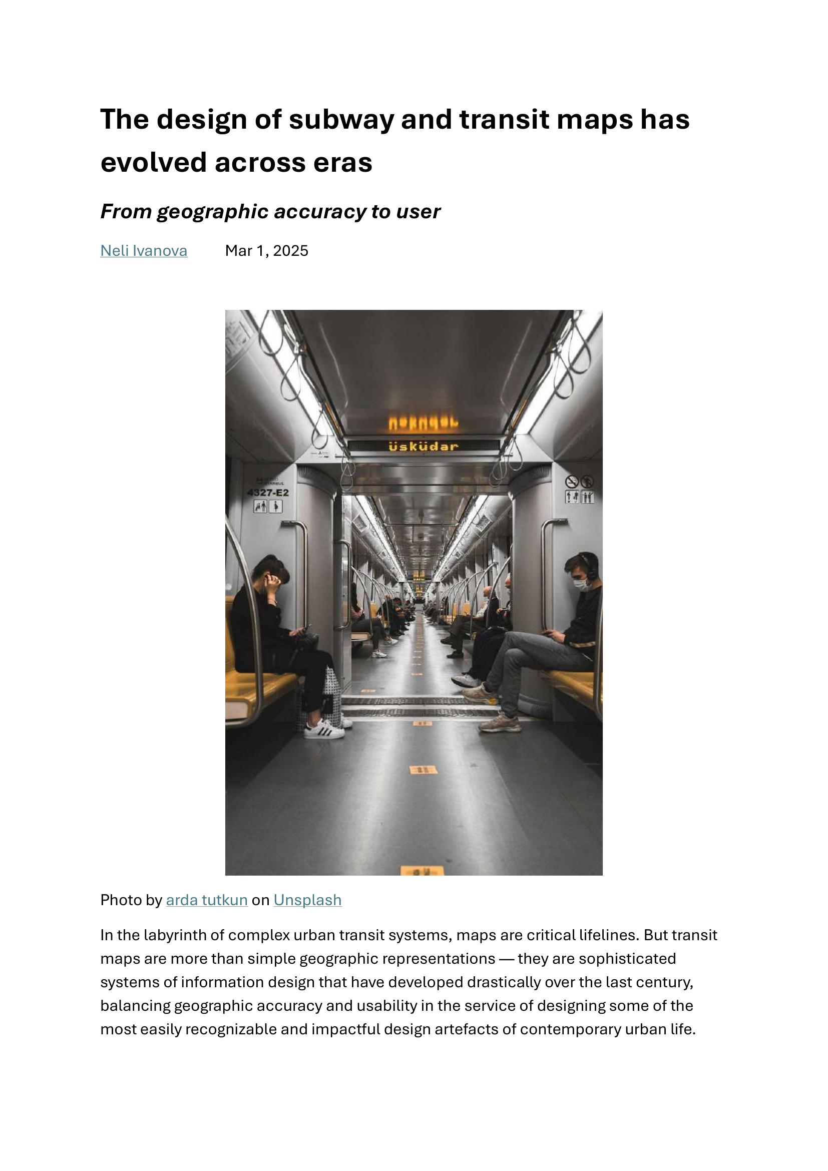
Ivanova – THE DESIGN OF SUBWAY AND TRANSIT MAPS HAS EVOLVED ACROSS ERAS 2025
£0.00
A downloadable PDF file for your personal use.
Description
Transit map design has evolved from early geographically accurate yet cluttered street‑based diagrams to Harry Beck’s 1933 revolutionary schematic, which prioritized clarity by straightening lines, regularizing station spacing, and color‑coding routes. Beck’s diagrammatic approach spread globally, adapted regionally—e.g., New York’s oscillation between schematic and geographic styles, Tokyo’s layered solutions for overlapping networks, and Mexico City’s pictograms for diverse literacy. The 21st‑century digital shift adds real‑time data, personalized routing, multimodal integration, and zoom‑dependent information density via apps like Google Maps and Citymapper. Cognitive research shows humans favor networked, sequence‑based mental maps—explaining schematic maps’ intuitiveness. Modern design increasingly emphasizes accessibility (color‑blind palettes, tactile maps, step‑free routing, multilingual pictograms) and multiple complementary map versions. Emerging trends include AR wayfinding and ambient environmental cues to guide passengers. Beyond function, transit maps now serve as cultural icons and urban identity markers. Throughout, designers balance geographic accuracy, information density, and cognitive legibility to serve growing, complex cities.
Additional information
| Pages | 6 |
|---|---|
| Filesize | 0.2Mb |
Related products
-
Anon – PICTURE THE TRANSIT SYSTEM EFFECTIVELY WITH A ROUTE MAP 1970
£0.00 Add to basket -

Association of Train Operating Companies Passenger Information Strategy Group – GOOD PRACTICE GUIDES FOR PROVIDING INFORMATION TO PASSENGERS 2008
£0.00 Add to basket -
Anon – ONE-DIMENSIONAL TIMETABLES 1993
£0.00 Add to basket -

Association of Train Operating Companies Information Development Group – GOOD PRACTICE GUIDES FOR CUSTOMER INFORMATION 2013
£0.00 Add to basket