Leprévost, Grison, Prabhakar, Lhuillier and Morgagni – FROM CENTRE TO SUBURBS 2023
£0.00
A downloadable PDF file for your personal use.
Description
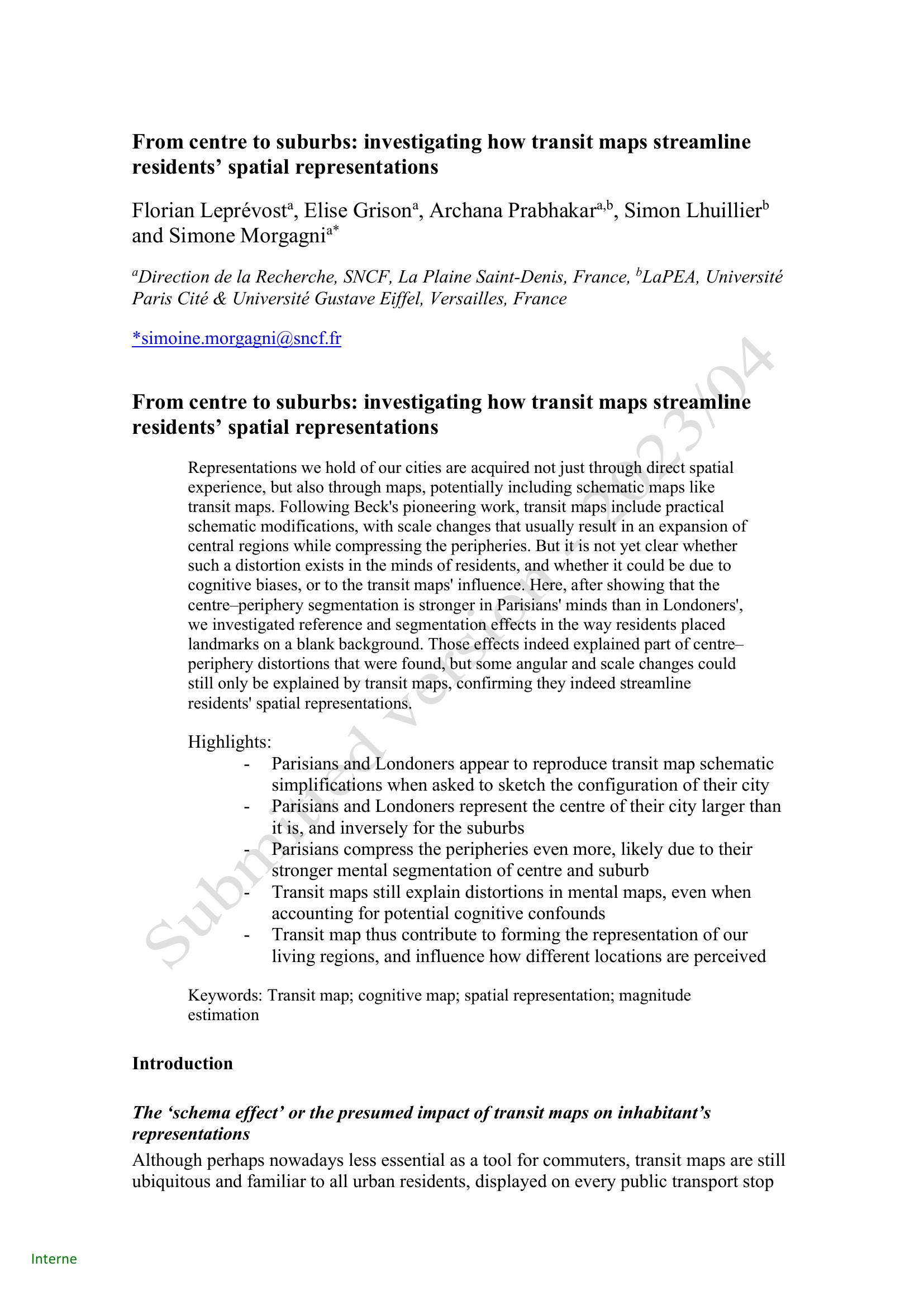
This study examined whether schematic transit maps shape residents’ mental representations of city space and whether centre–periphery distortions stem from maps or cognitive biases. Through a pre-study and main online experiment, Parisian and Londoner participants placed familiar landmarks on blank canvases using either a central or peripheral reference point. Bidimensional regressions compared placements to geographic and schematic (transit) maps. Results replicated a ‘schema effect’: placements were overall closer to transit maps, with systematic expansion of central areas and compression of peripheries—stronger in Paris, likely due to clearer centre–suburb segmentation. Analyses showed regression (magnitude-estimation), reference, and segmentation biases explained part of the distortion, but residual distance changes and angular errors were still predicted by transit-map-specific distortions. Public-transport exposure modulated some effects. The authors conclude transit maps contribute directly to shaping cognitive maps, though explained variance was low and generalizability is limited to the two cities studied.
Additional information
| Pages | 20 |
|---|---|
| Filesize | 0.5Mb |