
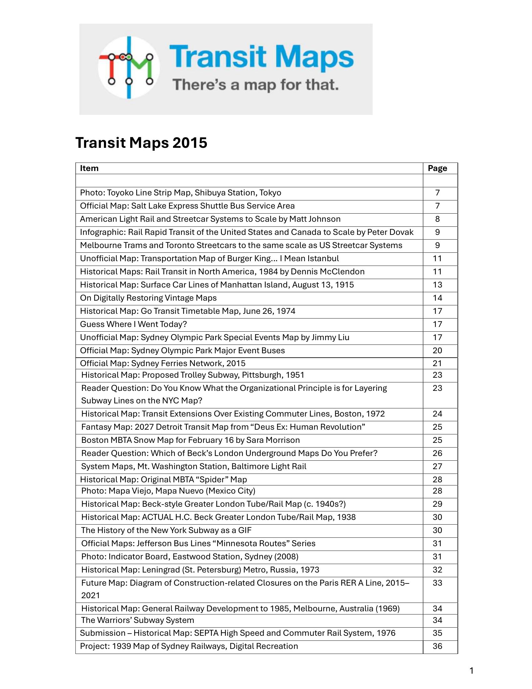
Booth – TRANSIT MAPS 2015 2015
£0.00
A downloadable PDF file for your personal use.
Description
Transit Maps 2015 is a curated series of posts examining global transit cartography—official, unofficial, historical, speculative and digitally restored maps—blending technical process, historical context, critique and celebration. The collection highlights notable projects (Amtrak’s wholesale “Amtrak as Subway Map” redesign with layered service overlays; fantasy and regional redesigns for Glasgow, Stockholm, Luxembourg and others), vintage reproductions, and creative visualizations. Recurring evaluation themes are clarity, mode differentiation, visual hierarchy, typography, geography, future-proofing and accessibility (colour-blindness and contrast). Practical guidance covers workflow (tracing in Illustrator, preferring OpenStreetMap exports over messy GIS paths), canvas ratios, multimodal hierarchies, and export best practices. Reviews praise elegant, well-researched designs and effective communication tools (RER A closure diagram, real-time visualizations) while critiquing cluttered, misleading or poorly rendered official maps. The series showcases community submissions, restoration techniques, design lessons and evolving drafts responding to reader feedback, emphasizing thoughtful simplification and usability in conveying complex transit information.
Additional information
| Pages | 262 |
|---|---|
| Filesize | 17.8Mb |
Related products
-
Association of Train Operating Companies – HOW TO PRESENT TIMETABLE INFORMATION 2005
£0.00 Add to basket -
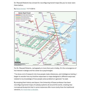
Annear – A TWIST ON THE MBTAS MAP DESIGN 2014
£0.00 Add to basket -
Anceresi, Gatti, Vecchi, Marelli and Rinaldi – A MAP OF WORDS 2023
£0.00 Add to basket -
Accent Marketing & Research – BUS STATION INFORMATION 1998
£0.00 Add to basket