
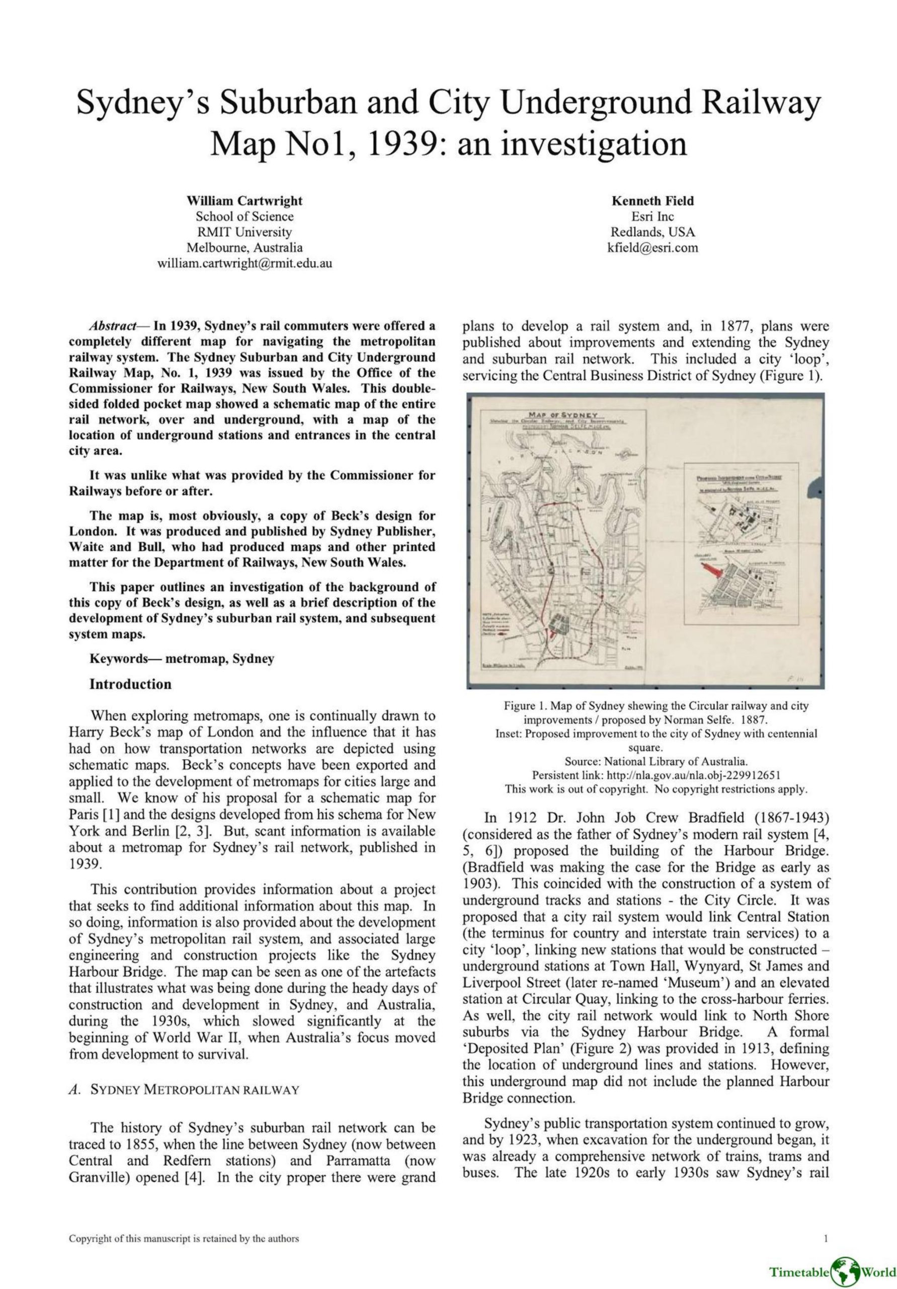
Cartwright and Field – SYDNEYS SUBURBAN AND CITY UNDERGROUND RAILWAY MAP No 1, 1939 2019
£0.00
A downloadable PDF file for your personal use. Timetable World has applied OCR to make the text searchable, and each page carries a small Timetable World logo.
Description
In 1939 the New South Wales Office of the Commissioner for Railways issued the Sydney Suburban and City Underground Railway Map No.1: a folded pocket schematic showing the entire metropolitan rail network and a detailed inset of underground CBD stations and entrances. Produced and printed by Sydney firm Waite & Bull, the map adopted Harry Beck’s London design principles—colour‑coded lines, routes drawn only horizontally, vertically or at 45°, station ticks and interchange circles—and its cover closely mirrored Beck’s 1938 London map. It differed markedly from earlier, geographically overlaid government maps and was short‑lived, replaced by a conventional 1941 map; schematic maps did not reappear prominently until 1969. Archival searches of NSW government and Waite & Bull records found no documentation of licensing or decision processes, suggesting informal appropriation of Beck’s design—likely enabled by distant legal norms and lax intellectual property enforcement in 1930s Australia. The map reflects Sydney’s interwar rail developments, including electrification (completed 1932) and Bradfield’s city‑loop and Harbour Bridge projects.
Additional information
| Pages | 4 |
|---|---|
| Filesize | 1.8Mb |
Related products
-
Attoma, Dubuc and Boyer-Moraes – MAPS BY ATTOMA 2014
£0.00 Add to basket -

Association of Transport Co-ordinating Officers – PUBLIC TRANSPORT INFORMATION GOOD PRACTICE 2005
£0.00 Add to basket -

Association of Train Operating Companies Passenger Information Strategy Group – GOOD PRACTICE GUIDES FOR PROVIDING INFORMATION TO PASSENGERS 2008
£0.00 Add to basket -
Accent Marketing & Research – BUS STATION INFORMATION 1998
£0.00 Add to basket