
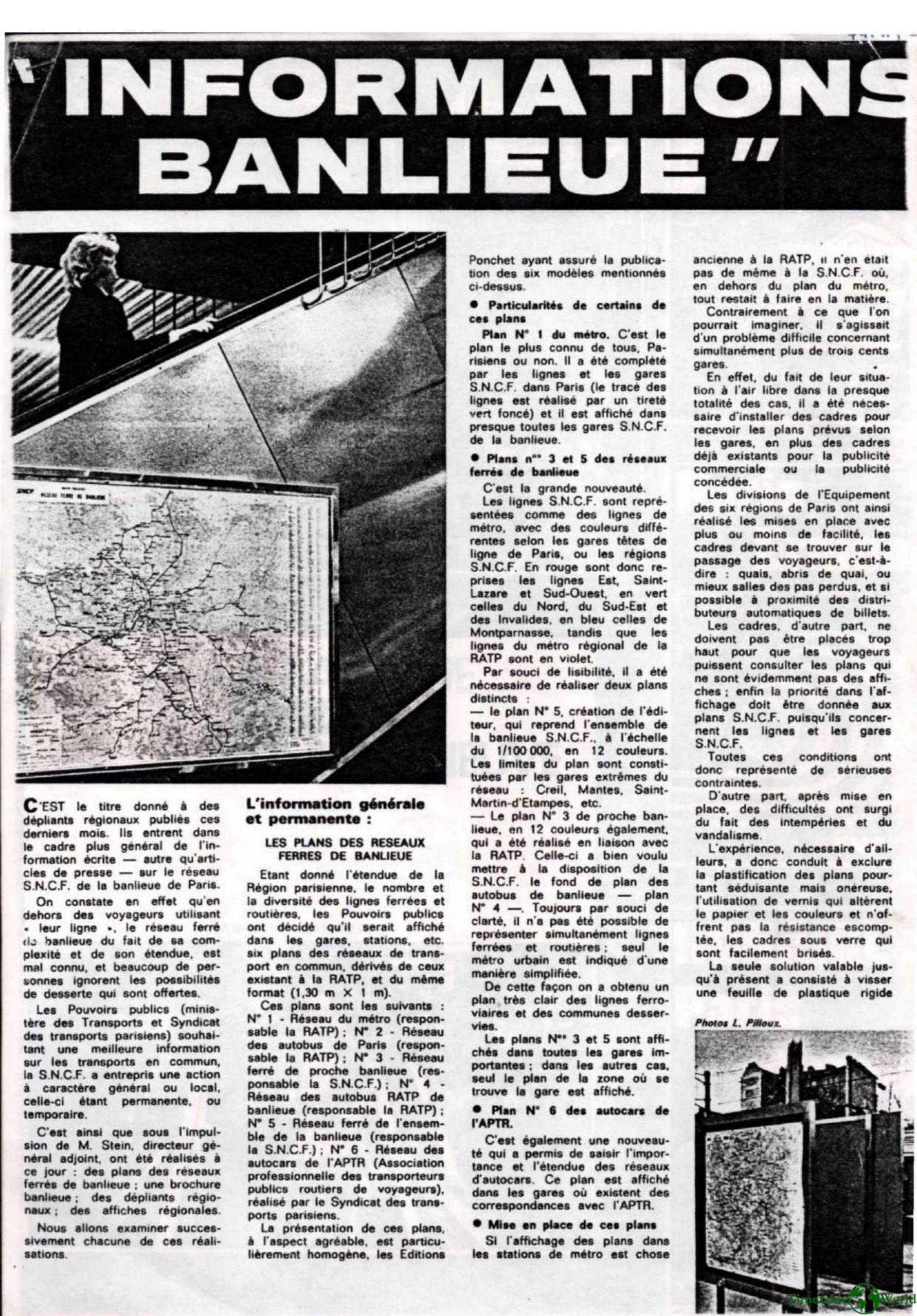
Constant – INFORMATIONS BANLIEUE 1974
£0.00
A downloadable PDF file for your personal use. Timetable World has applied OCR to make the text searchable, and each page carries a small Timetable World logo.
Description
The SNCF has launched a broad information campaign on the Paris suburban network: maps, brochures, leaflets and posters, permanent or temporary, to make the offer and the improvements in progress better known. Six large maps (metro, Paris bus, inner suburbs, suburban buses, rail complex, APTR coaches) in a homogeneous format are displayed in the station; the railway plans N°3 (inner suburbs) and N°5 (together) are a novelty, color-coded according to the origin of the lines and designed for readability. The installation in more than 300 stations caused technical problems (frames, bad weather, vandalism) which were temporarily solved by a rigid plastic sheet screwed together. An illustrated brochure explains the transformations, while local leaflets detail electrification, new timetables, services and combined SNCF/RATP fares. Remote display (removable pallets) is used in many high-traffic stations. Finally, the document describes the printing process in 12 colors. The information effort must continue to promote the modernisation of the suburban network. [Original text in French]
Additional information
| Pages | 4 |
|---|---|
| Filesize | 2.1Mb |
Related products
-
Association of Transport Co-ordinating Officers – PRINTED INFORMATION AT BUS STOPS 2004
£0.00 Add to basket -
Allard – THE DESIGN OF PUBLIC TRANSPORT MAPS 2009
£0.00 Add to basket -
Anon – ONE-DIMENSIONAL TIMETABLES 1993
£0.00 Add to basket -
Accent Marketing & Research – BUS STATION INFORMATION 1998
£0.00 Add to basket