
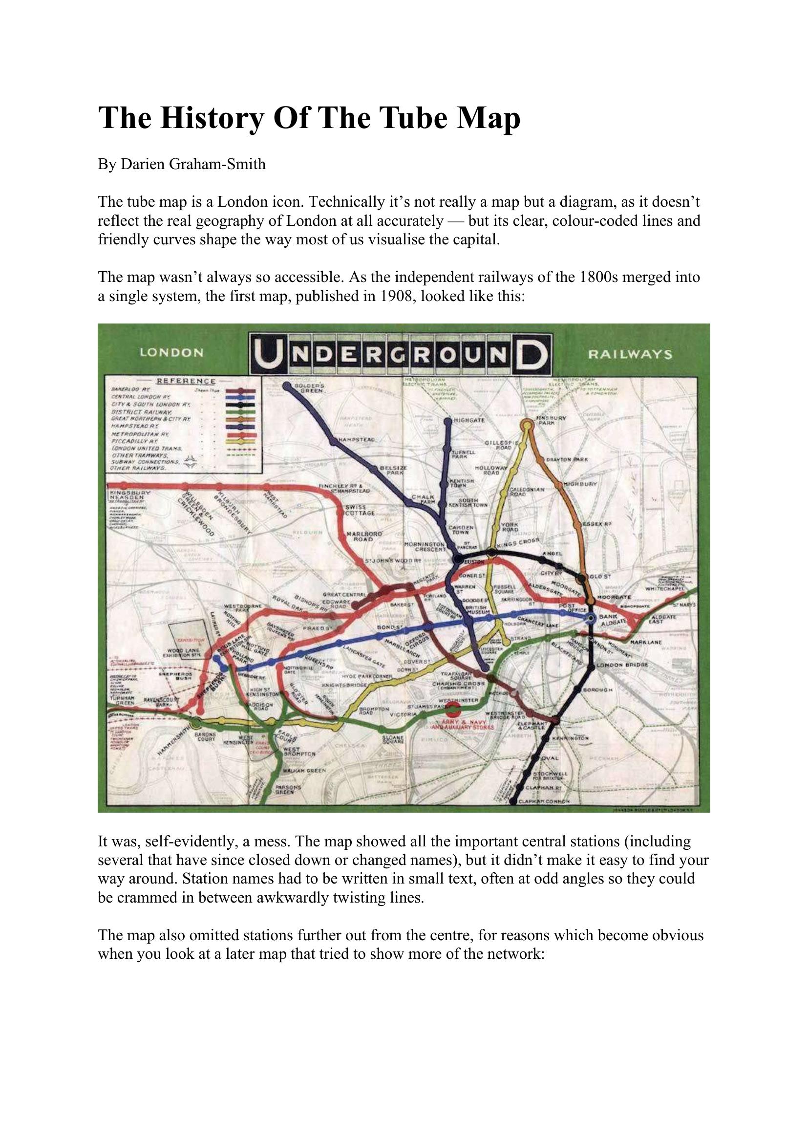
Graham-Smith – THE HISTORY OF THE TUBE MAP 2018
£0.00
A downloadable PDF file for your personal use.
Description
The London tube map is a schematic diagram rather than an accurate geographic map, designed to simplify a complex rail network. Early maps (1908) were cluttered and hard to read; Fred Stingemore’s 1926 redesign regularised spacing and distorted geography to improve legibility and portray suburbs as closer to the centre. The modern approach was pioneered by Harry Beck, an engineering draughtsman who in 1931 produced a diagram with straightened lines, consistent angles and evenly spaced stations. Initially rejected, his design was bought and published in 1933 and rapidly became popular. Subsequent refinements—colour coding, interchange symbols, typography—evolved the design, despite periodic missteps and managerial meddling (notably a 1960 redesign adding the Victoria line without Beck). Paul Garbutt’s 1962 updates restored Beck’s spirit and added lasting features like the Circle line’s ‘bottle’ shape. Later changes introduced zonal pricing (1981), accessibility symbols and many new services; today’s map shows roughly 270 Tube stations, preserving Beck’s lasting influence.
Additional information
| Pages | 12 |
|---|---|
| Filesize | 1.3Mb |
Related products
-
Anon – ONLY CONNECT 1987
£0.00 Add to basket -
Association of Transport Co-ordinating Officers – PRINTED INFORMATION AT BUS STOPS 2004
£0.00 Add to basket -

Association of Train Operating Companies – PROVISION OF CUSTOMER INFORMATION 2016
£0.00 Add to basket -
Association of Train Operating Companies – PASSENGER INFORMATION DURING DISRUPTION 2014
£0.00 Add to basket