Lloyd – MAKE STRAIGHT THE WAY – A HISTORY OF THE NEW YORK CITY SUBWAY MAP 2022
£0.00
A downloadable PDF file for your personal use. Timetable World has applied OCR to make the text searchable, and each page carries a small Timetable World logo.
Description
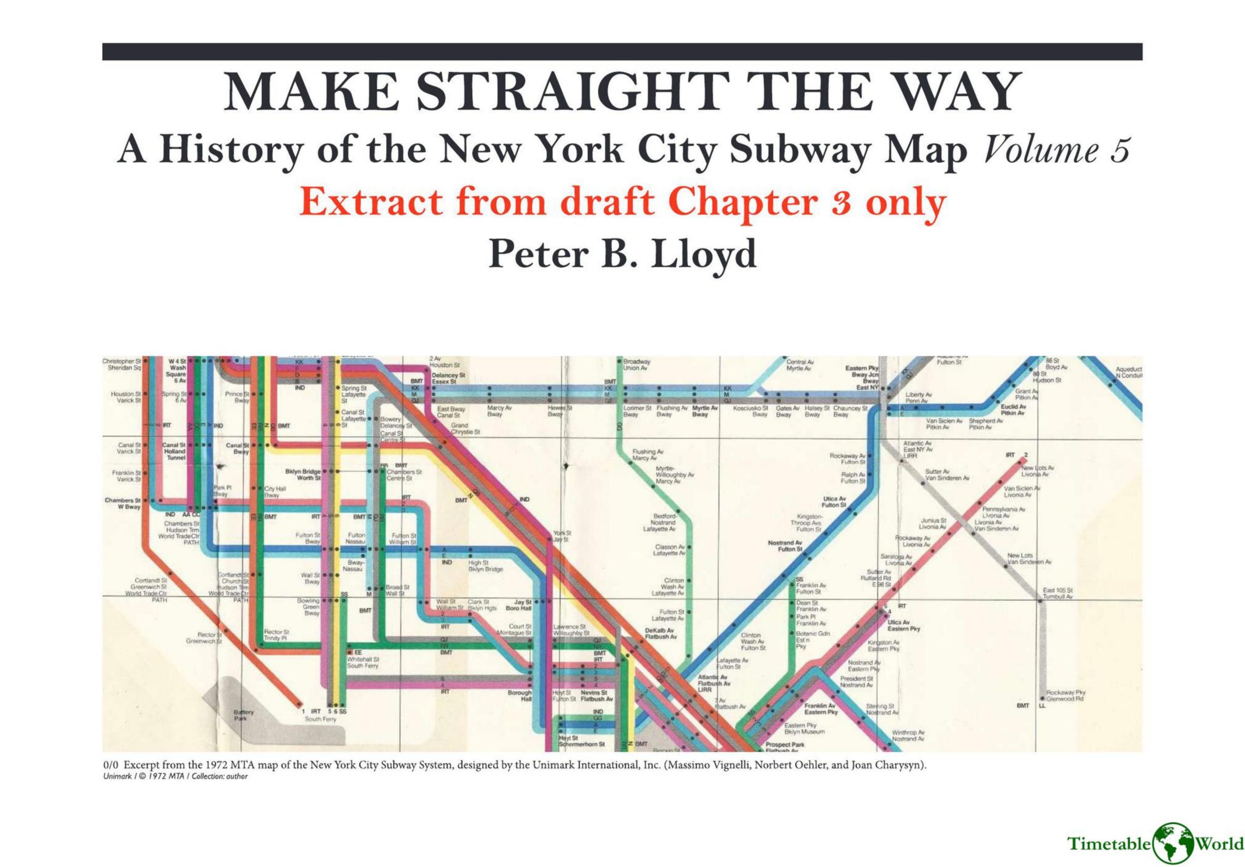
This extract reconstructs the development of the 1972 Vignelli New York City subway map from limited surviving materials. It traces a timeline from a 1964 TA map contest and Unimark’s mid‑1960s New York office through contracts for signage and mapping (1966–1972), Vignelli’s 1971 departure from Unimark, and the map’s publication on August 4, 1972. Early Charysyn maps under Vignelli reveal a largely settled octilinear visual grammar and strict rules for route labels and alignments. Raleigh D’Adamo’s c.1971 MTA sketches critiqued geometry, label placement, and transfer depiction at congested nodes; some recommendations (Bronx trunk alignment, smoothing southern Brooklyn bends) were accepted, while many were rejected because they conflicted with Vignelli’s minimalist, tightly labeled approach and the avoidance of white‑space “islands.” Two proposals rejected in 1971 (Canal Street symbol move, Pelham Bay bend) were implemented when Vignelli revisited the map in 2008. The chapter emphasizes ongoing 1972 revisions, designer–MTA tensions, and how sparse archives shape our understanding of the map’s evolution.
Additional information
| Pages | 20 |
|---|---|
| Filesize | 7Mb |