
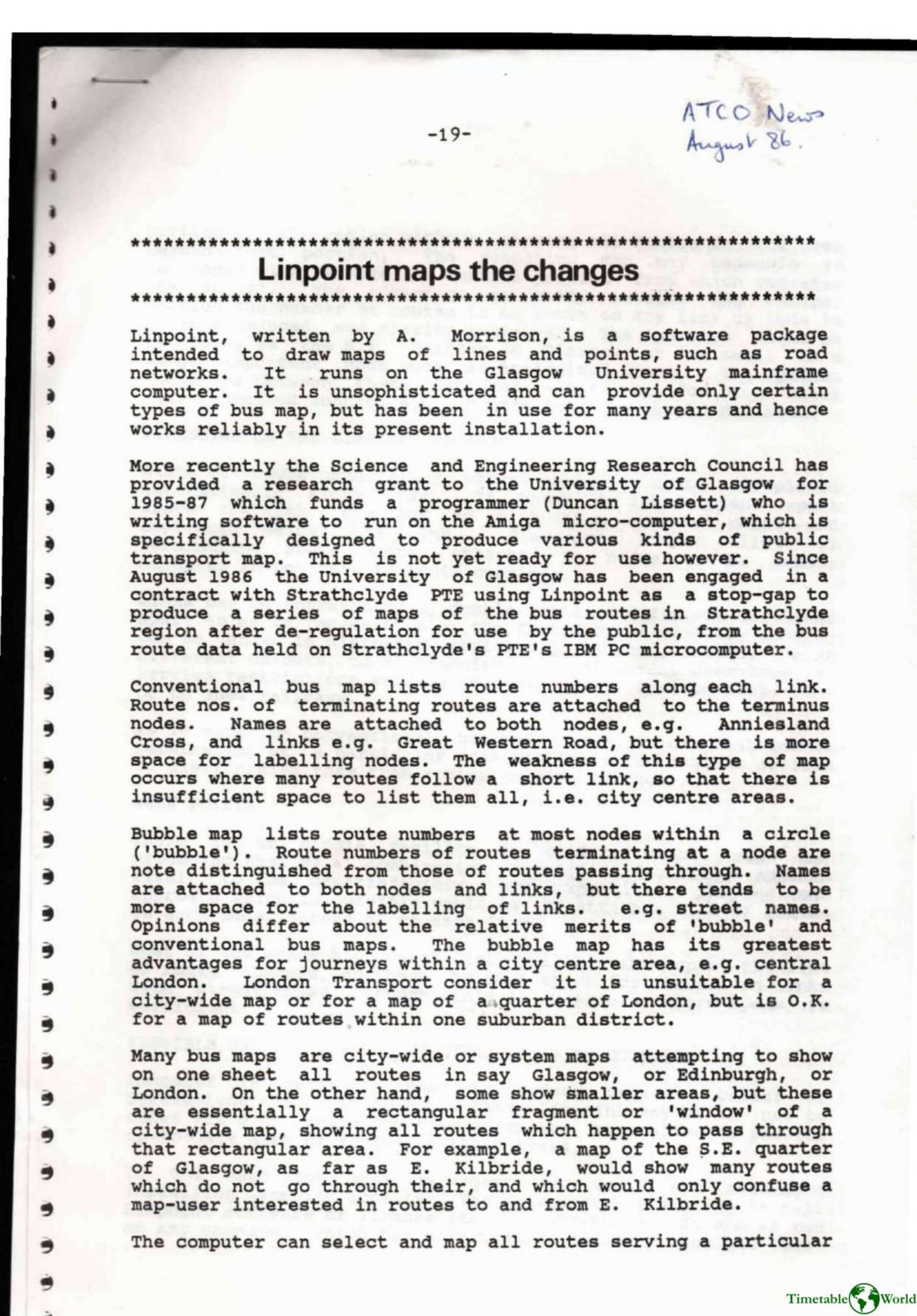
Morrison – LINPOINT MAPS THE CHANGES 1986
£0.00
A downloadable PDF file for your personal use. Timetable World has applied OCR to make the text searchable, and each page carries a small Timetable World logo.
Description
Linpoint, developed by A. Morrison at the University of Glasgow, is a Fortran-based mapping package for drawing line-and-point transit maps (principally bus networks) on the Glasgow mainframe. Though unsophisticated, it is reliable and is being used as a stop-gap to produce post-deregulation Strathclyde PTE maps from PC route data while an Amiga-based mapping program (funded by SERC) is developed. Linpoint can automatically place route numbers and street names along links, split labels sensibly, adjust node labels to avoid overlaps, and display link styles or double lines to indicate operators or frequencies. It can distinguish terminating routes and generate focused “octopus” maps that show full detail for a chosen area with reduced detail radiating outward for clarity. Weaknesses include no single bubble-map facility and limited space for street names when many routes occupy a link. The software can be licensed for systems with Fortran 77 and the Ghost graphics library, though transfer and licensing may cause delays. Three example map types are illustrated (public octopus, enlarged-area, and internal colored PTE map).
Additional information
| Pages | 6 |
|---|---|
| Filesize | 1.7Mb |
Related products
-
American Public Transit Association – TRANSIT MAPS 1984
£0.00 Add to basket -
Association of Public Transport Co-ordination Officers – PUBLIC TRANSPORT INFORMATION 1982
£0.00 Add to basket -
Association of Train Operating Companies – PASSENGER INFORMATION DURING DISRUPTION 2014
£0.00 Add to basket -
Association of Transport Co-ordinating Officers – PRINTED INFORMATION AT BUS STOPS 2004
£0.00 Add to basket