
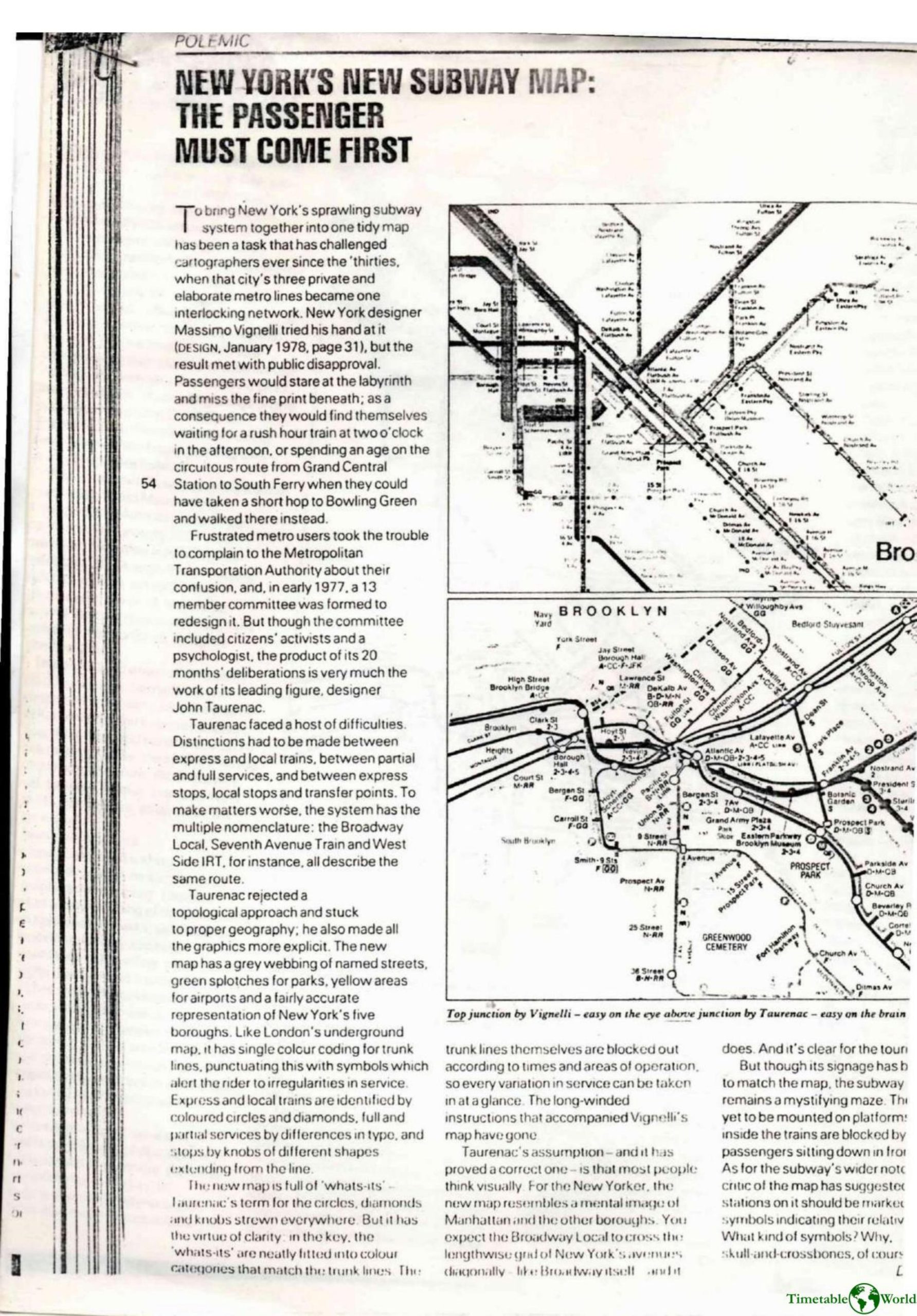
Webb – NEW YORKS NEW SUBWAY MAP 1980
£0.00
A downloadable PDF file for your personal use. Timetable World has applied OCR to make the text searchable, and each page carries a small Timetable World logo.
Description
New York’s subway map has long challenged cartographers since the 1930s. Massimo Vignelli’s abstract, topological map (1978) drew public ire because riders found it hard to use—leading to confusion, missed trains and circuitous journeys. In 1977 the MTA convened a 13‑member committee; designer John Taurenac became the driving force behind its redesign. Confronting multiple line names and the need to show express vs. local, full vs. partial service, and transfer points, Taurenac rejected a schematic approach in favor of accurate geography and clearer graphics. His map adds a street grid, parks, borough outlines, and single‑color trunk lines augmented by symbols—Taurenac’s “whats‑its” (circles, diamonds, knobs)—to indicate service irregularities and stop types, with an explicit key. The result better matches New Yorkers’ mental image of the city and aids tourists, though signage and platform displays still lag and the system remains complex in practice.
Additional information
| Pages | 2 |
|---|---|
| Filesize | 0.9Mb |
Related products
-
Association of Transport Co-ordinating Officers – PRINTED PUBLIC TRANSPORT INFORMATION 2003
£0.00 Add to basket -
Accent Marketing & Research – MAPS AND TIMETABLES AT BUS STOPS 1999
£0.00 Add to basket -
Anceresi, Gatti, Vecchi, Marelli and Rinaldi – A MAP OF WORDS 2023
£0.00 Add to basket -
Association of Transport Co-ordinating Officers – PRINTED INFORMATION AT BUS STOPS 2004
£0.00 Add to basket