
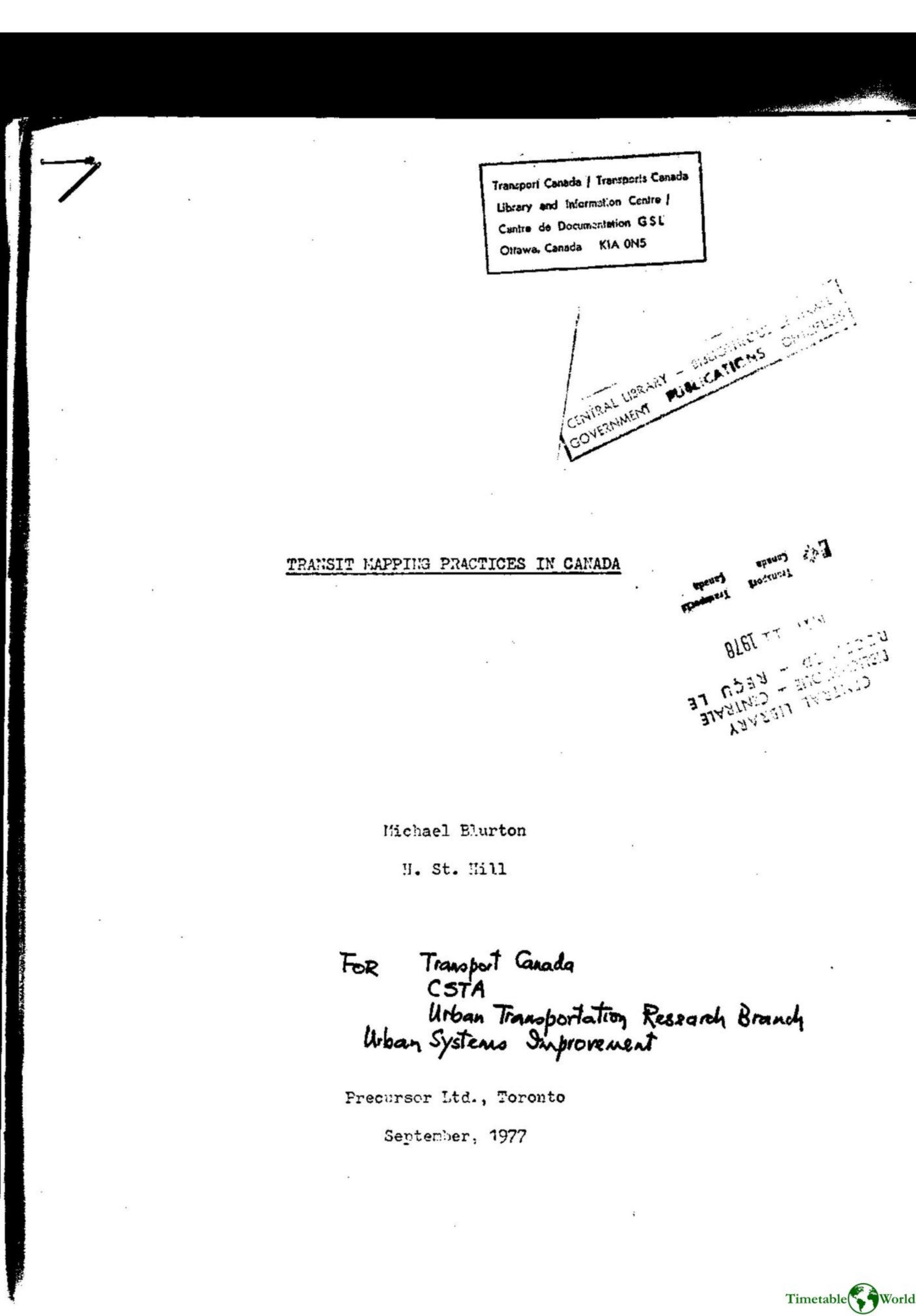
Blurton and Hill – TRANSIT MAPPING PRACTICES IN CANADA 1977 1977
£0.00
A downloadable PDF file for your personal use. Timetable World has applied OCR to make the text searchable, and each page carries a small Timetable World logo.
Description
Transit Mapping Practices in Canada (1977) analyzes 35 Canadian urban transit maps, documenting content, design, production and city-by-city characteristics. Most maps portray entire systems topographically, though some focus on single routes or rail/subway services. The study categorizes map purposes (public use, routing, transfers, stops, schedules, fares, tourist info) and technical features (size, scale, schematic vs. topographical layout, street delineation, colors, typefaces, symbols, folding and distribution). Findings reveal wide stylistic variation: route identification and major points are commonly shown, while schedules, fares and multilingual information are less consistent. The report issues detailed design recommendations: use professional cartography, pocket-size folding, controlled base-map detail, standard reduction scales (preferably 1:50,000 or 1:25,000), scaled distance bars and compass, clear single typeface (6–8+ pt), restrained high-contrast colors, standard symbols with a legend, line-method street rendering, CBD insets, and clear route/transfer identification. It discusses schematic versus topographical trade-offs, timetable best practices, service types and examples (e.g., Trans Cab, Dial A Bus), fare structures, printing costs and distribution strategies.
Additional information
| Pages | 47 |
|---|---|
| Filesize | 11.8Mb |
Related products
-
Association of Transport Co-ordinating Officers – PRINTED INFORMATION AT BUS STOPS 2004
£0.00 Add to basket -
American Public Transit Association – TRANSIT MAPS 1984
£0.00 Add to basket -
Accent Marketing & Research – MAPS AND TIMETABLES AT BUS STOPS 1999
£0.00 Add to basket -
Allard – THE DESIGN OF PUBLIC TRANSPORT MAPS 2009
£0.00 Add to basket