
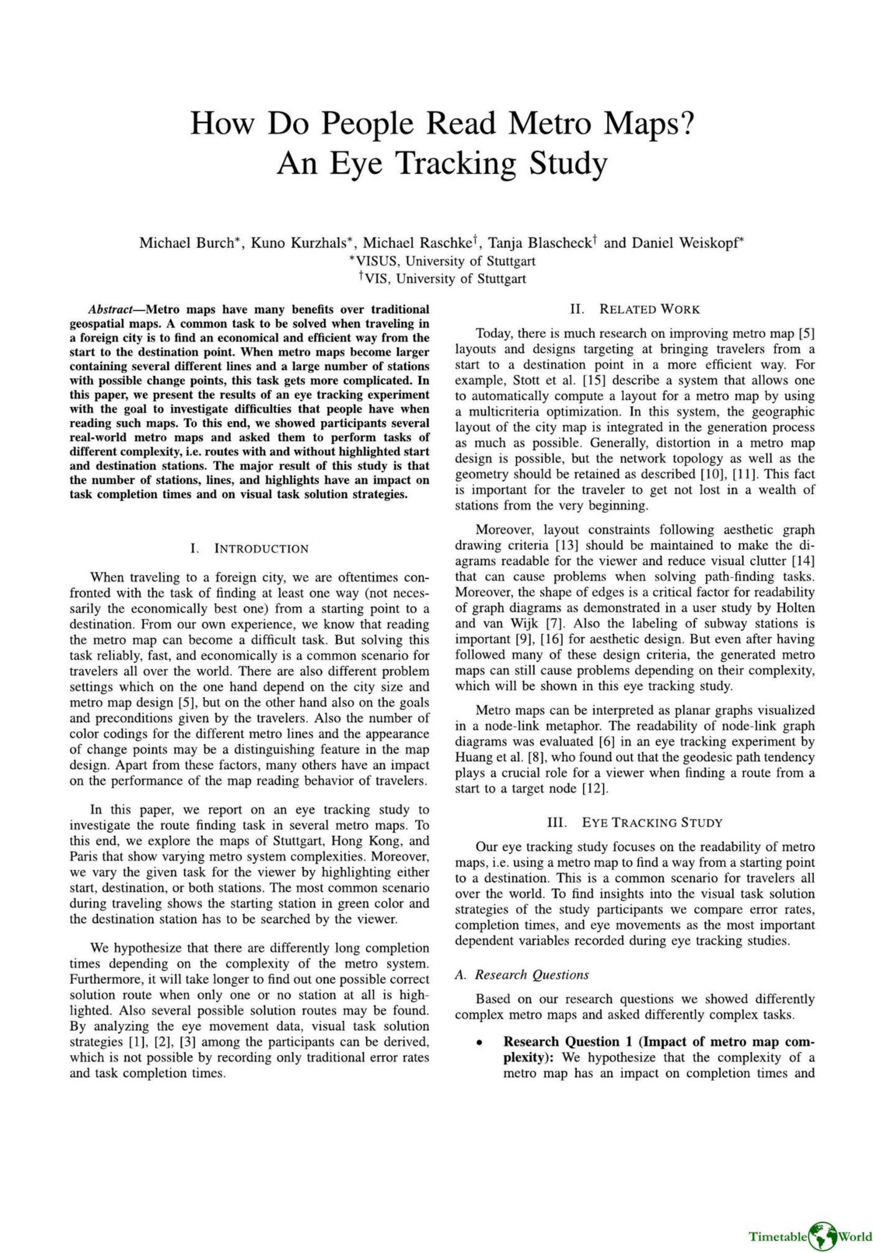
Burch. Kurzhals, Raschke, Blascheck and Weiskopf – HOW DO PEOPLE READ METRO MAPS 2014
£0.00
A downloadable PDF file for your personal use. Timetable World has applied OCR to make the text searchable, and each page carries a small Timetable World logo.
Description
This study used eye tracking to investigate how people read metro maps and find routes. Eight participants performed route-finding tasks on three real-world maps of differing complexity—Stuttgart (7 lines, 83 stations), Hong Kong (11 lines, 81 stations), and Paris (16 lines, 303 stations)—under three highlight conditions: both start and destination, start only, and none. Dependent measures were completion time, error rates, and eye movements. Results show that greater map complexity and fewer highlighted stations increase completion times and produce more chaotic gaze patterns; highlighting both stations yields clearer, more focused fixations. Heat maps reveal progressively scattered scanning from Stuttgart to Hong Kong to Paris, and participants often identified multiple possible routes. Familiarity with a map (Stuttgart) reduced completion time. An open-ended London map trial showed concentrated attention on the city center. The authors note limitations—including small sample size, lack of real-world stressors, and potential confounds—and recommend further studies with more participants and investigations of map layout effects.
Additional information
| Pages | 4 |
|---|---|
| Filesize | 1.7Mb |
Related products
-
American Public Transit Association – TRANSIT MAPS 1984
£0.00 Add to basket -
Association of Train Operating Companies – HOW TO PRESENT TIMETABLE INFORMATION 2005
£0.00 Add to basket -

Association of Train Operating Companies Passenger Information Strategy Group – GOOD PRACTICE GUIDES FOR PROVIDING INFORMATION TO PASSENGERS 2008
£0.00 Add to basket -
Association of Transport Co-ordinating Officers – PRINTED PUBLIC TRANSPORT INFORMATION 2001
£0.00 Add to basket