
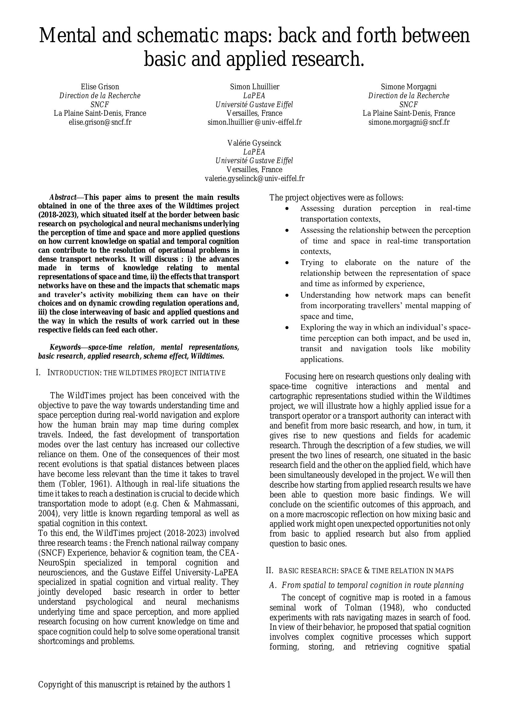
Grison, Lhuillier, Morgagni and Gyselinck – MENTAL AND SCHEMATIC MAPS 2025
£0.00
A downloadable PDF file for your personal use.
Description
The WildTimes (2018–2023) project united SNCF, CEA NeuroSpin and Gustave Eiffel University to bridge basic research on spatial–temporal cognition with applied transit problems. Objectives included assessing duration perception during travel, space–time interactions, and how mental maps inform network design and mobility tools. Basic studies showed that implicit speed cues (slow/fast train, plane) compress geographic mental representations when time is the reference—fast modes produce metric shrinking—and that mechanisms may involve categorical rather than linear magnitude processing. Comparative tests of map formats found topographic maps best for distance, anamorphic maps for travel time, and shrivelled maps improved detection of spatial inversion but were harder to interpret. Applied experiments demonstrated that schematic map design can shift route choices (3–7.6% for line edits; transfer complexity could deter up to 75% of choices) and that schematic displays in mobile apps can alter choices by up to 17%. Cross-city studies revealed a “schema effect”: residents’ mental maps align more with transit schematics than geographic reality. The project advocates situated, reciprocal basic–applied research (VR, mobile EEG, real journeys) to inform both cognitive science and transport design.
Additional information
| Pages | 8 |
|---|---|
| Filesize | 0.3Mb |
Related products
-
Association of Train Operating Companies – PROVISION OF CUSTOMER INFORMATION 2016
£0.00 Add to basket -

Association of Transport Co-ordinating Officers – PUBLIC TRANSPORT INFORMATION GOOD PRACTICE 2005
£0.00 Add to basket -
Accent Marketing & Research – MAPS AND TIMETABLES AT BUS STOPS 1999
£0.00 Add to basket -

Association of Train Operating Companies – PRESENTATION OF TIMETABLE INFORMATION 1997
£0.00 Add to basket