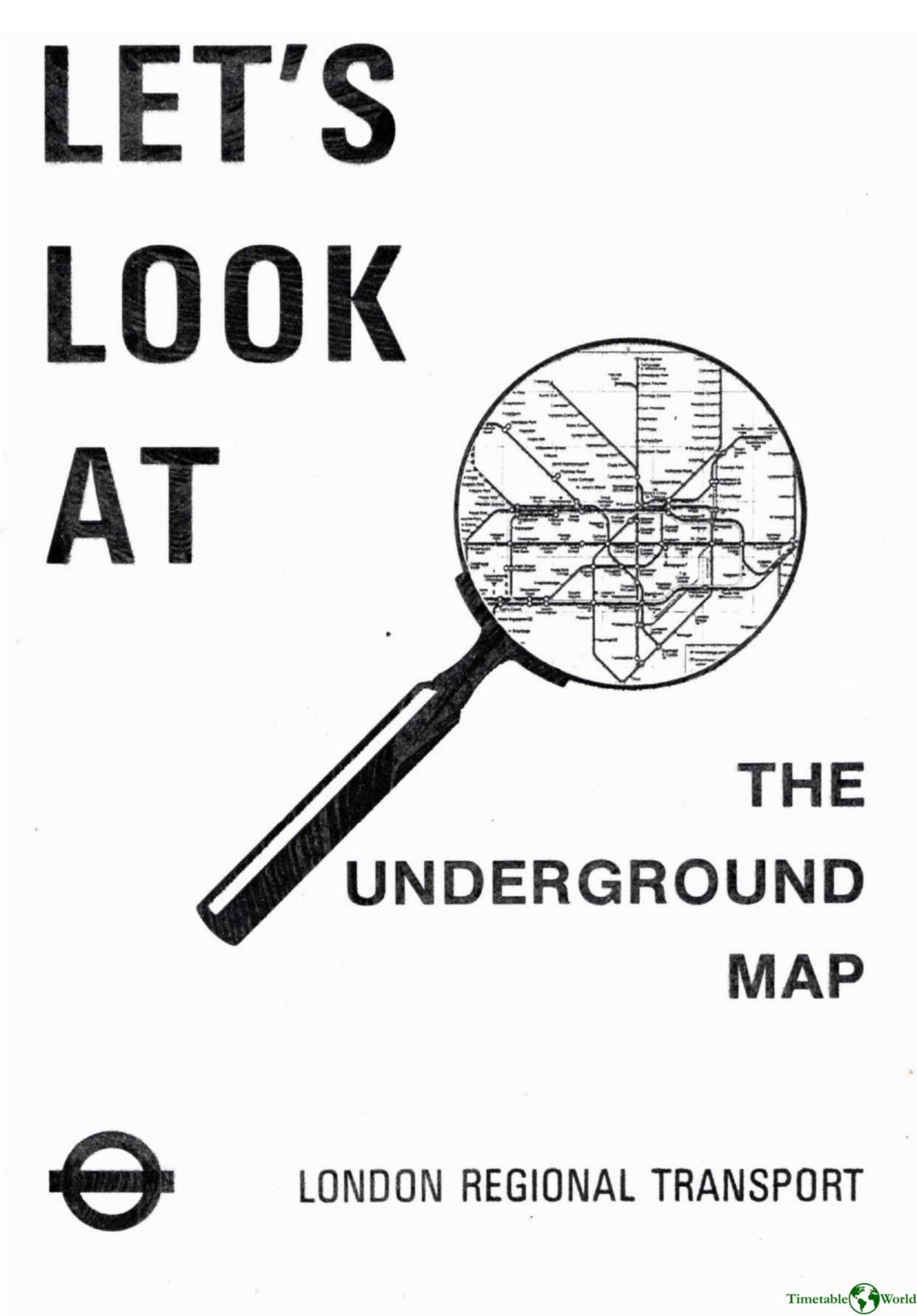
London Transport Museum – LETS LOOK AT THE UNDERGROUND MAP 1996
£0.00
A downloadable PDF file for your personal use. Timetable World has applied OCR to make the text searchable, and each page carries a small Timetable World logo.
Description
This document is a teaching guide for children . It lreproduces the Underground map, lists stations alphabetically with grid references, notes interchange points and services, and highlights stations with car parks and bicycle storage. It explains limited services (hatched/dotted lines) and gives exampless. Practical guidance includes journey planning rules (assume 2 minutes between stations, 5 minutes to change), several sample route solutions and timings .
Additional information
| Pages | 7 |
|---|---|
| Filesize | 2.1Mb |
Related products
-
Accent Marketing & Research – MAPS AND TIMETABLES AT BUS STOPS 1999
£0.00 Add to basket -

Association of Transport Co-ordinating Officers – PUBLIC TRANSPORT INFORMATION GOOD PRACTICE 2005
£0.00 Add to basket -

Annear – A TWIST ON THE MBTAS MAP DESIGN 2014
£0.00 Add to basket -

American Public Transit Association – TIMETABLES 1982
£0.00 Add to basket