
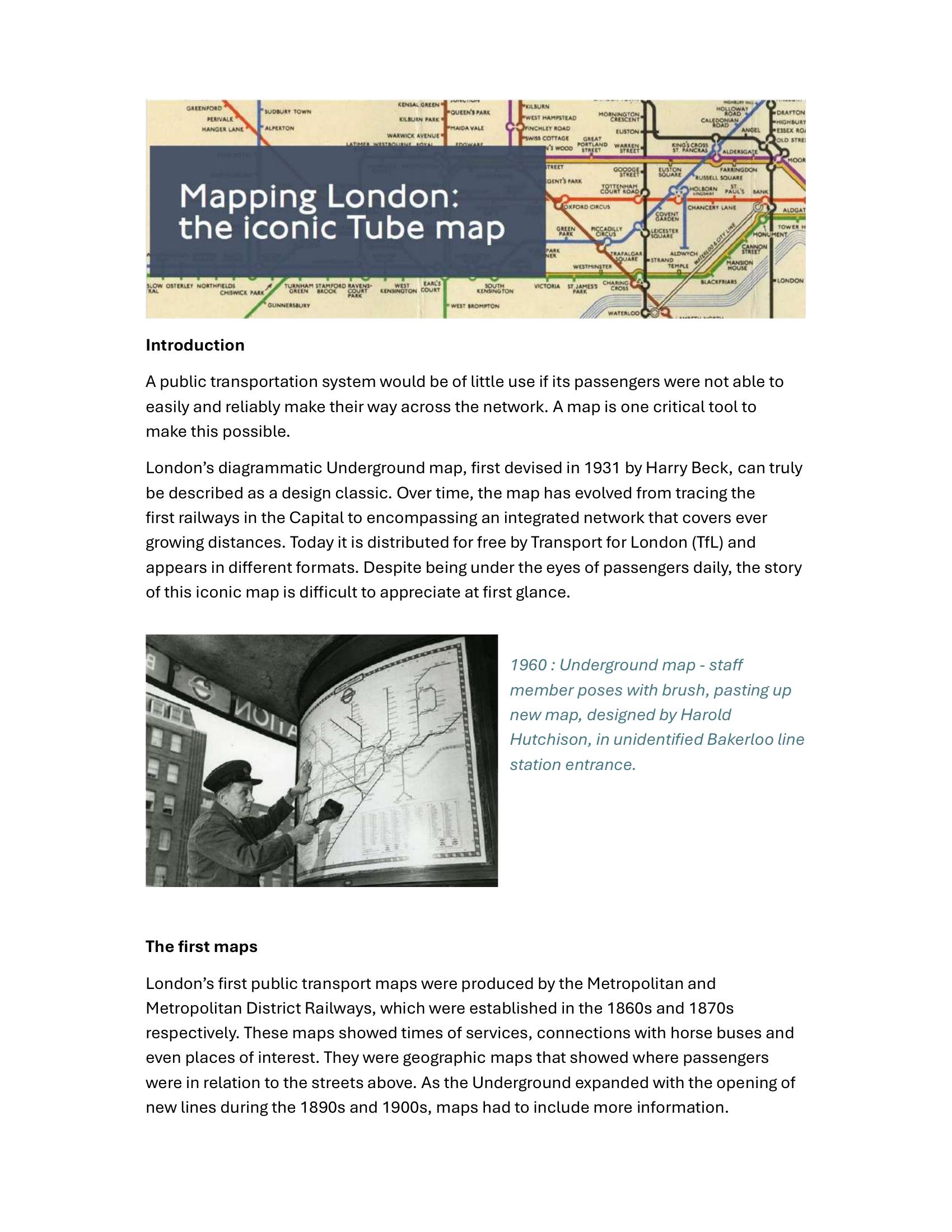
London Transport Museum – MAPPING LONDON – THE ICONIC TUBE MAP 2025
£0.00
A downloadable PDF file for your personal use.
Description
London’s Underground map evolved from detailed geographic pocket maps of the late 19th and early 20th centuries into the iconic diagrammatic design introduced by Harry Beck in 1931 and published as a trial pocket map in 1933. Early maps emphasized geography and connections but became cluttered as the system expanded. Beck’s non-geographic approach enlarged the central area, used only horizontal, vertical and 45-degree lines, standard colours and simplified symbols to improve legibility. Initially controversial, it was adopted widely after London Transport’s 1933 integration. Beck and successors refined the design—adding interchange rings, revising colours, showing the Circle line in 1950 and accommodating new lines and extensions such as Victoria, Jubilee and Heathrow. Contemporary versions, branded as the Journey Planner, now include DLR, Overground, Tram, Emirates Air Line and TfL Rail, plus accessibility icons, fare zones and Night Tube variants. The map’s clarity and adaptability have inspired transit maps worldwide and artistic reinterpretations, while its design remains controlled by TfL’s intellectual property and licensing.
Additional information
| Pages | 11 |
|---|---|
| Filesize | 0.8Mb |
Related products
-

Annear – A TWIST ON THE MBTAS MAP DESIGN 2014
£0.00 Add to basket -

Association of Train Operating Companies – HOW TO PRESENT TIMETABLE INFORMATION 2005
£0.00 Add to basket -
American Public Transit Association – TRANSIT MAPS 1984
£0.00 Add to basket -

Association of Train Operating Companies – PROVISION OF CUSTOMER INFORMATION 2016
£0.00 Add to basket