
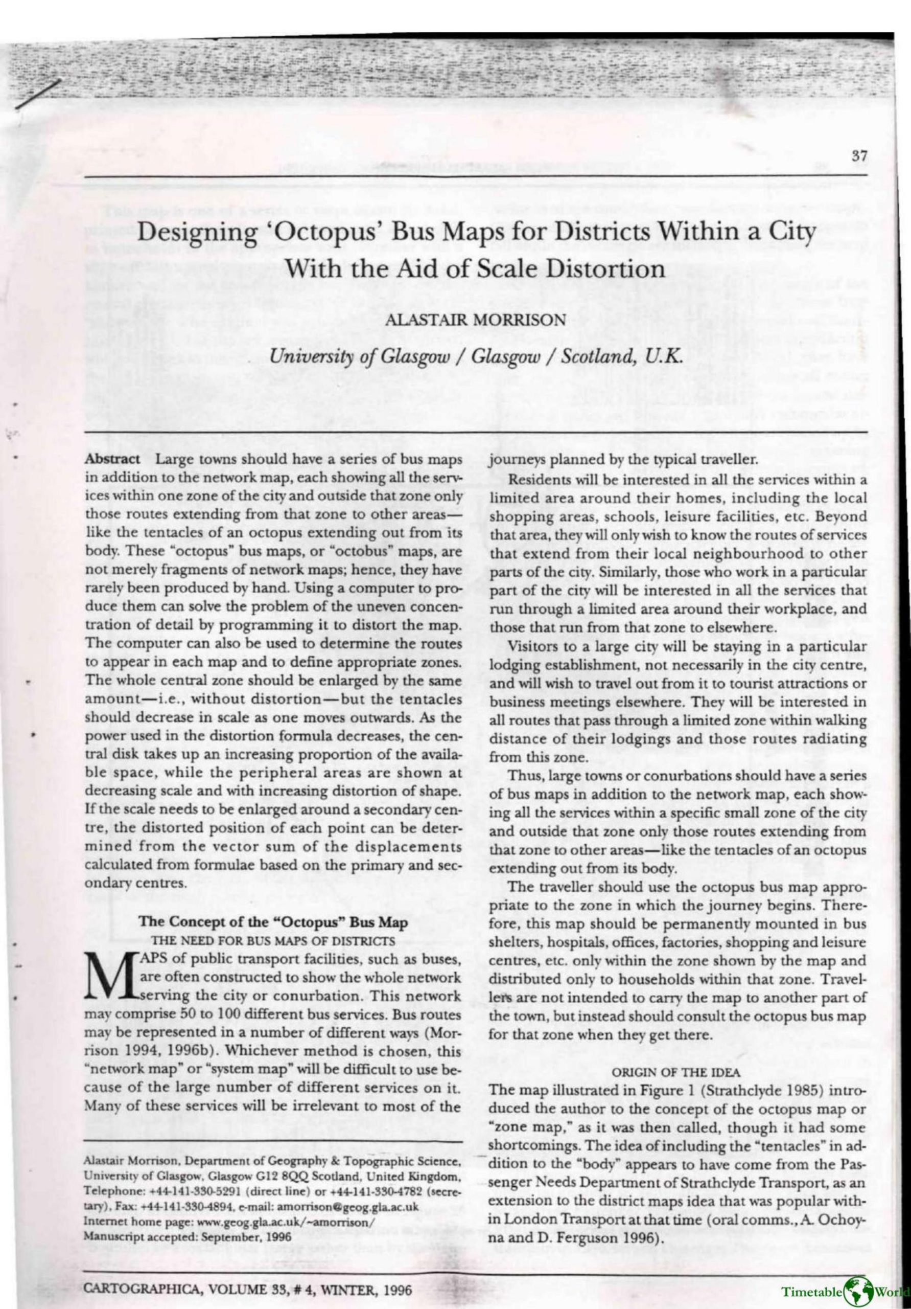
Morrison – DESIGNING OCTOPUS BUS MAPS FOR DISTRICTS WITHIN A CITY WITH THE AID OF SCALE DISTORTON 1996
£0.00
A downloadable PDF file for your personal use. Timetable World has applied OCR to make the text searchable, and each page carries a small Timetable World logo.
Description
Morrison proposes “octopus” (or “octobus”) maps that show every service inside a small, irregularly shaped zone (the body) and only routes radiating outward (the tentacles). These district maps better match user needs, are easier to update, and should be issued only for each zone. Manual production is laborious, so computers extract zone-based route data from vector networks and apply controlled distortion. Morrison’s practical method uses a power-law function (B = A^P) with an undistorted central disk and an adjustment factor to preserve resolution; he favors an abrupt radial scaling at the disk edge. Parameters (power, disk radius, typical distance) trade off central enlargement against peripheral shape distortion. He outlines two-centre distortion via weighted vector sums. Experience mapping Strathclyde (Linpoint, pen plotting, B/W) revealed limits: too many services become illegible, so zones should be small. Design choices include variable-width double-line links for frequency, strict numbering/abbreviation rules, directional arrows, and automated text placement. User feedback favored zone maps but highlighted need for careful parameter choice and use of colour.
Additional information
| Pages | 24 |
|---|---|
| Filesize | 9.3Mb |
Related products
-
Accent Marketing & Research – BUS STATION INFORMATION 1998
£0.00 Add to basket -
Attoma, Dubuc and Boyer-Moraes – MAPS BY ATTOMA 2014
£0.00 Add to basket -
Attoma – MAPPING MOBILITY 2024
£0.00 Add to basket -

Association of Train Operating Companies Information Development Group – GOOD PRACTICE GUIDES FOR CUSTOMER INFORMATION 2013
£0.00 Add to basket