
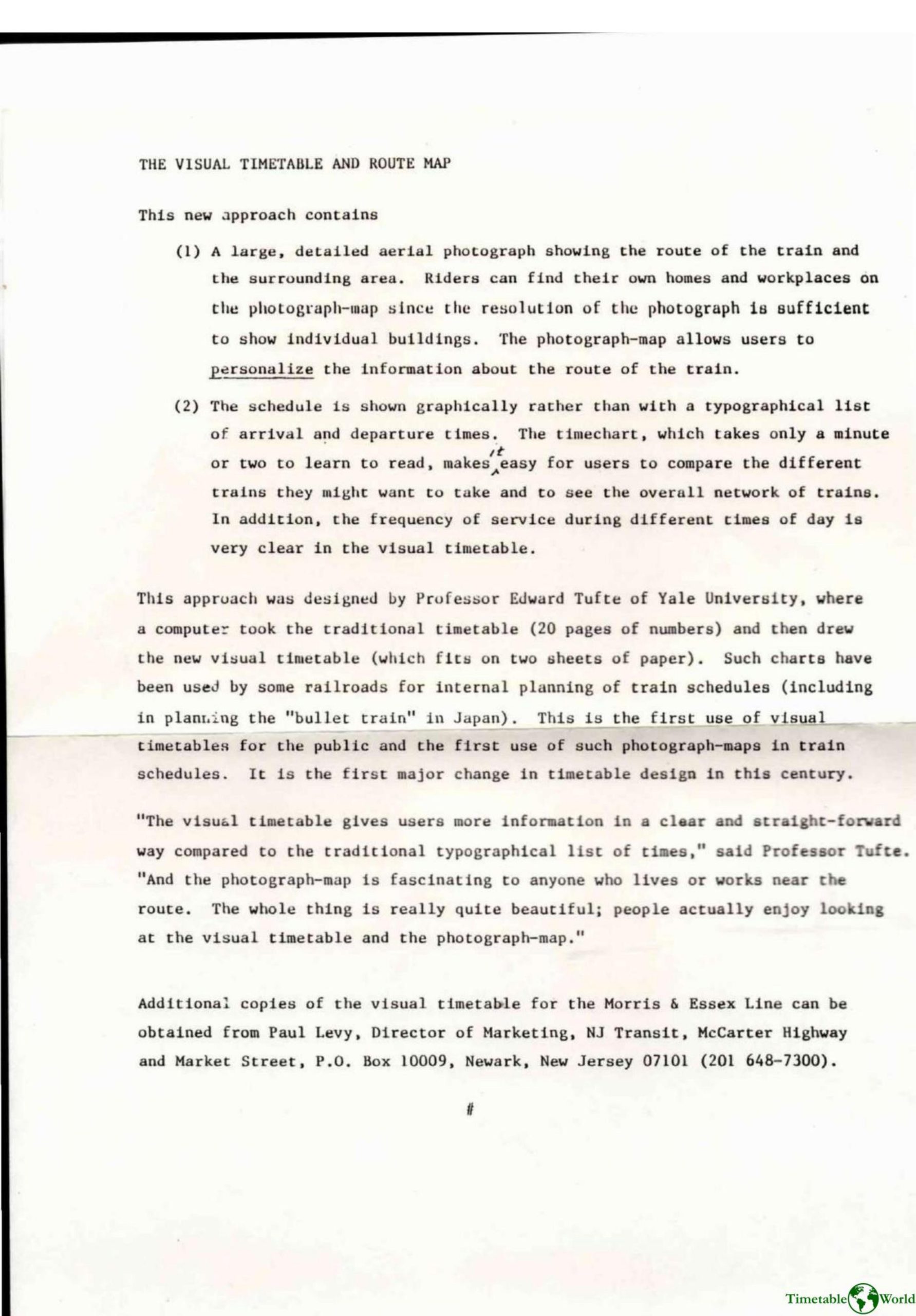
New Jersey Transit – THE VISUAL TIMETABLE AND ROUTE MAP 1986
£0.00
A downloadable PDF file for your personal use. Timetable World has applied OCR to make the text searchable, and each page carries a small Timetable World logo.
Description
The Visual Timetable and Route Map, designed by Edward Tufte (with Inge Druckrey and David Bruce), replaces traditional numeric timetables for NJ Transit’s Morris & Essex Lines with a two-sheet graphic system: a large, high-resolution aerial photograph mapping the train route and a graphical timechart. The photograph-map lets riders locate landmarks, homes, and workplaces along the line; the timechart presents schedules visually, making service frequency, express versus local stops (dotted lines), and comparisons between trains easy to read after a brief familiarization. Previously used only for internal planning, this is the first public use of such visual timetables and photograph-maps and represents a major timetable design change. Copies are available from NJ Transit marketing. The package sparked interest from transport researchers and operators, who praised its clarity and aesthetics but raised practical questions about estimating times, handling branches and overtaking trains, interchange planning, chart size, and the map’s primary audience.
Additional information
| Pages | 25 |
|---|---|
| Filesize | 5.5Mb |
Related products
-
Anceresi, Gatti, Vecchi, Marelli and Rinaldi – A MAP OF WORDS 2023
£0.00 Add to basket -

American Public Transit Association – TIMETABLES 1982
£0.00 Add to basket -
Association of Train Operating Companies – PASSENGER INFORMATION DURING DISRUPTION 2014
£0.00 Add to basket -

Association of Train Operating Companies Information Development Group – GOOD PRACTICE GUIDES FOR CUSTOMER INFORMATION 2013
£0.00 Add to basket