
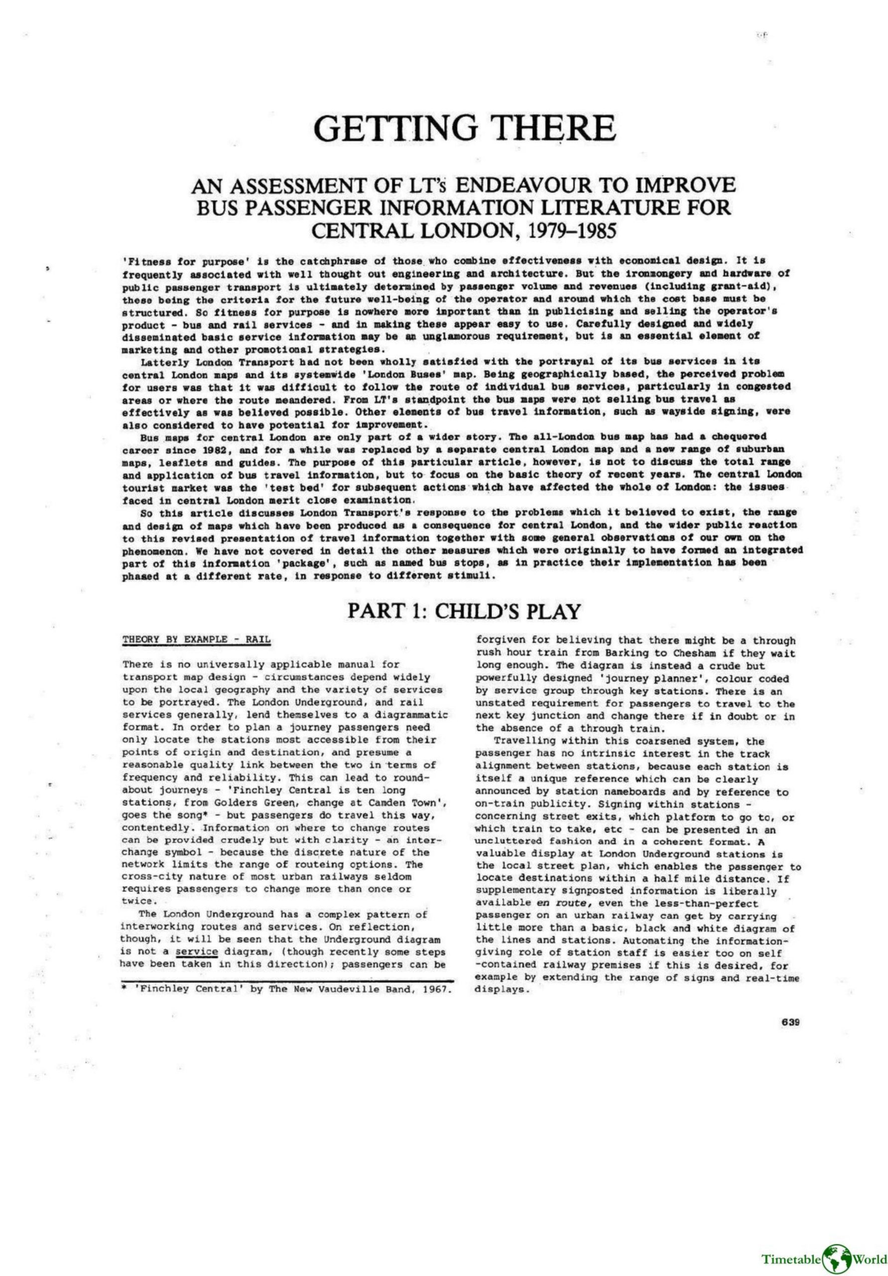
Roberts J et al – GETTING THERE 1985
£0.00
A downloadable PDF file for your personal use. Timetable World has applied OCR to make the text searchable, and each page carries a small Timetable World logo.
Description
Between 1979 and 1985 London Transport reviewed central London bus information, finding existing Penrose maps ineffective for infrequent users. External designers and internal teams developed a coordinated information package—maps, stop displays and route finders—guided by market research that favoured colour coding and simplified diagrammatic aids but warned against overload and recommended retaining conventional maps. LT adopted the Graef/Holmes central London bus map in 1980, featuring interchange circles grouping route numbers, simplified colours and other editorial choices; planned testing was largely curtailed and the map launched on 10 August 1981. Public reaction was mixed and staff criticism strong. Evaluations found that circle-to-circle junctions and coloured lines supported high-level planning but obscured local detail: junctions, stations, street names and stop locations were unclear; irregular services, one-way routings and termini were poorly represented; and cartographic and typographic errors persisted. Although adapted into tourist folders with incremental fixes, the map failed a clear ‘‘fitness for purpose’’ test and its effect on bus use remains unproven.
Additional information
| Pages | 36 |
|---|---|
| Filesize | 15.2Mb |
Related products
-

Association of Transport Co-ordinating Officers – PUBLIC TRANSPORT INFORMATION GOOD PRACTICE 2005
£0.00 Add to basket -
Allsop – DETERMINING WHICH REQUIREMENTS OF PUBLIC TRANSPORT USERS IN LARGE CITIES COULD BE MET BY MODERN INFORMATION TECHNOLOGY 1987
£0.00 Add to basket -
Anceresi, Gatti, Vecchi, Marelli and Rinaldi – A MAP OF WORDS 2023
£0.00 Add to basket -

American Public Transit Association – TIMETABLES 1982
£0.00 Add to basket