
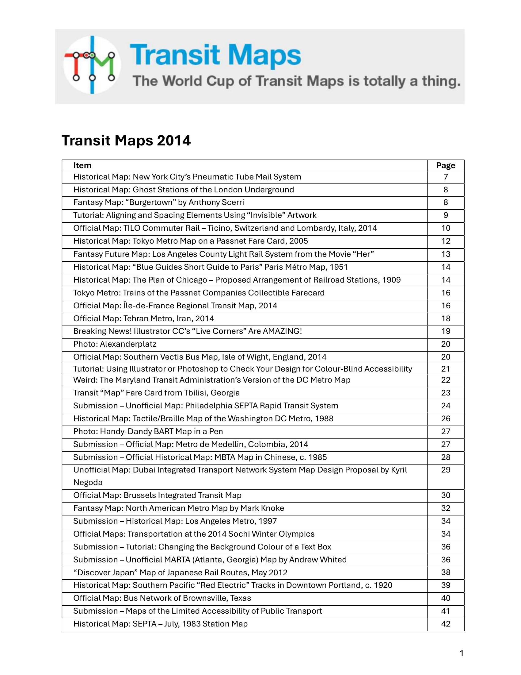
Booth – TRANSIT MAPS 2014 2014
£0.00
A downloadable PDF file for your personal use.
Description
Transit Maps 2014 is a curated collection of posts, reviews, tutorials and reader submissions surveying historic, official, unofficial and fantasy transit maps worldwide. It highlights historical curiosities and contemporary proposals, praises clever official and community redesigns, and showcases creative projects and fantasy maps. Practical tutorials explain design techniques—alignment, Illustrator Live Corners, color‑blind proofing, text backgrounds—while critiques focus on clarity, typography, legends, file quality and multimodal integration. Accessibility is emphasised through tactile/Braille and interactive maps for New York, London and Hamburg. The blog celebrates well-executed maps (e.g., clean Beijing unofficial, Budapest, Istanbul, Westeros) and flags poor examples, offering recurring advice: simplify coastlines/backgrounds, tighten spacing instead of adding insets, lighten legend borders, use distinct colours and letter IDs for accessibility, maintain consistent typography and station symbols, use clear icons and arrows for one‑way routing, and ensure map logic matches operations. Overall it stresses usability, strong visual hierarchy, sensible geography and accurate, accessible reflection of service patterns.
Additional information
| Pages | 272 |
|---|---|
| Filesize | 22.8Mb |
Related products
-

Association of Transport Co-ordinating Officers – PUBLIC TRANSPORT INFORMATION GOOD PRACTICE 2005
£0.00 Add to basket -
Association of Train Operating Companies – HOW TO PRESENT TIMETABLE INFORMATION 2005
£0.00 Add to basket -

Association of Train Operating Companies Passenger Information Strategy Group – GOOD PRACTICE GUIDES FOR PROVIDING INFORMATION TO PASSENGERS 2008
£0.00 Add to basket -
Annear – A TWIST ON THE MBTAS MAP DESIGN 2014
£0.00 Add to basket