
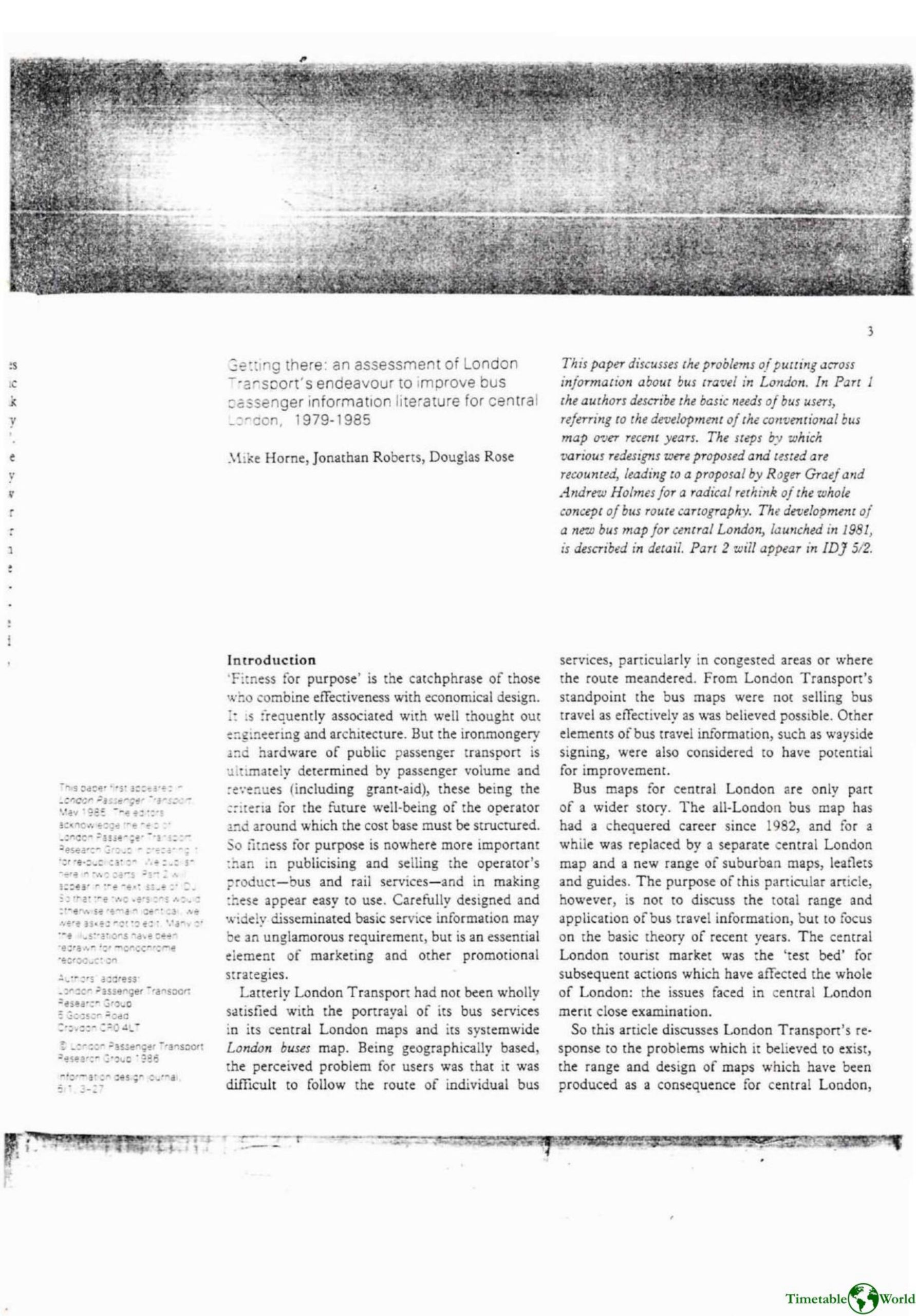
Horne, Roberts J and Rose – GETTING THERE 1986
£0.00
A downloadable PDF file for your personal use. Timetable World has applied OCR to make the text searchable, and each page carries a small Timetable World logo.
Description
Between 1979 and 1985 London Transport sought to improve central London bus information, responding to the limitations of conventional geographic bus maps in dense central areas and the success of the diagrammatic Underground map. Bus users required immediate, location-specific guidance, but existing maps were cluttered, stopped unmarked and poor for alighting or orientation. External proposals and internal research showed users appreciated colour-coded, uncluttered “route-finder” diagrams for journey planning but still needed geographic maps to locate boarding points. An integrated information package was proposed—stylised central maps, stop-level route diagrams, on-bus displays and clearer stop naming. An informal LT team led by Roger Graef and artist Andrew Holmes produced a Central London Bus Map using recognisable topography, seven colour groupings by route orientation and interchange circles showing route numbers at junctions. Market testing was positive but indicated needed refinements. A design committee adopted many features, rejected rival destinometer schemes, and despite limited testing launched the A2 pocket map on 10 August 1981 to mixed acclaim.
Additional information
| Pages | 25 |
|---|---|
| Filesize | 8.5Mb |
Related products
-
Association of Train Operating Companies – PASSENGER INFORMATION DURING DISRUPTION 2014
£0.00 Add to basket -
Association of Transport Co-ordinating Officers – PUBLIC TRANSPORT INFORMATION GOOD PRACTICE 2005
£0.00 Add to basket -
Association of Transport Co-ordinating Officers – PRINTED PUBLIC TRANSPORT INFORMATION 2001
£0.00 Add to basket -
Association of Transport Co-ordinating Officers – PRINTED PUBLIC TRANSPORT INFORMATION 2003
£0.00 Add to basket