
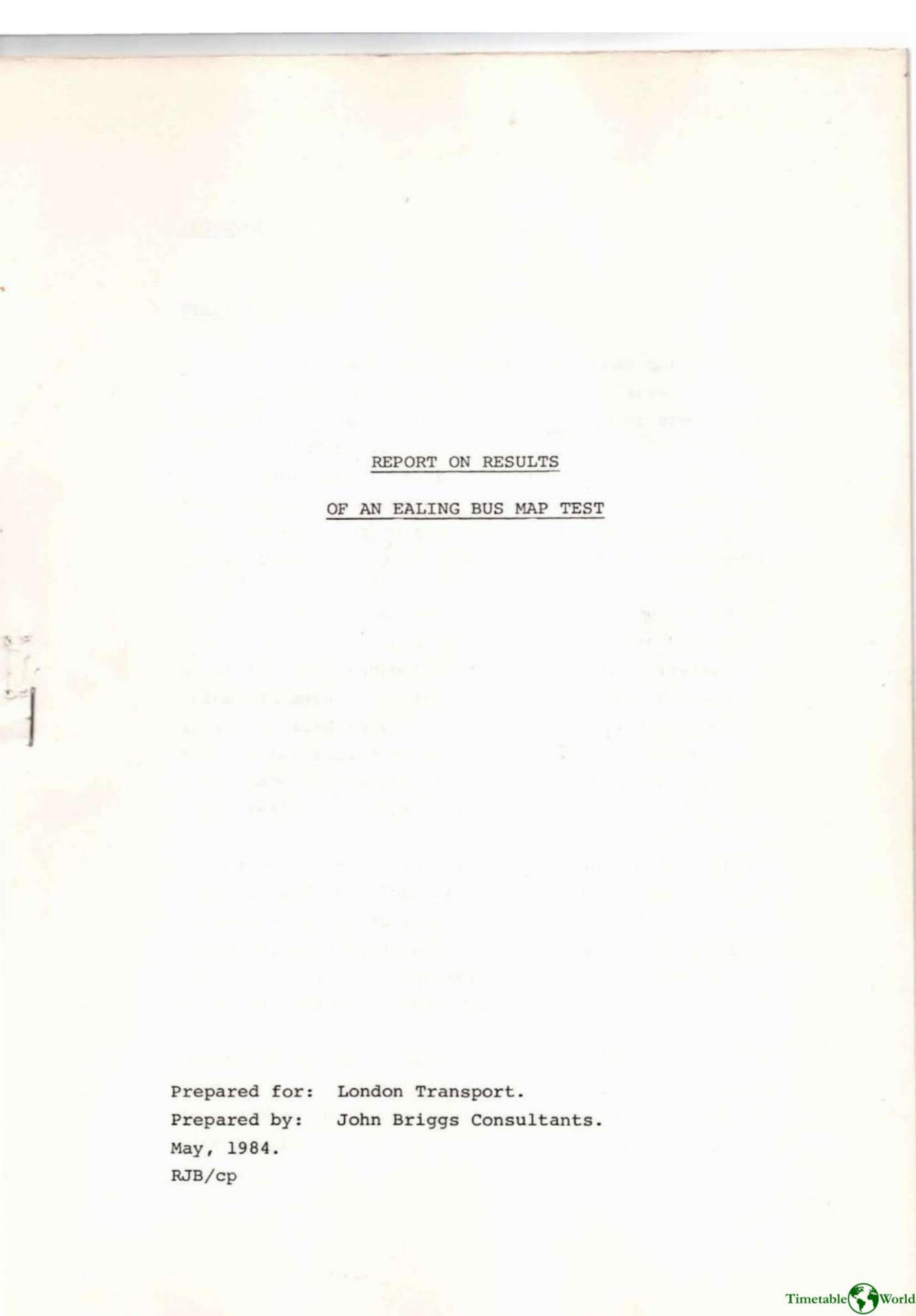
John Briggs Consultants – REPORT ON RESULTS OF AN EALING BUS MAP TEST 1984
£0.00
A downloadable PDF file for your personal use. Timetable World has applied OCR to make the text searchable, and each page carries a small Timetable World logo.
Description
John Briggs Consultants tested two large suburban bus maps in Ealing—a Yellow Circle Map and a Blue Route Map—by placing them with residents for about two weeks and then comparing usage. The intended 400-sample study produced 120 usable Yellow and 117 Blue responses across regular, occasional, teenage and pensioner groups. Both maps were highly rated for large, clear print and ease of use, with most respondents using the maps 3–5 times and offering few criticisms; about two-thirds judged the coverage appropriate. When directly compared, the Yellow map was preferred overall (majority across subgroups), mainly because its numbered-circle design made route numbers and links easier to identify, while Blue supporters preferred numbers along roads. Many respondents said they would obtain the map (48% very likely) and that it would encourage use of less familiar routes (34% much more, 47% a little more). Recommendations include minor refinements, area-specific scale decisions, and effective publicity/distribution.
Additional information
| Pages | 25 |
|---|---|
| Filesize | 4.4Mb |
Related products
-
Association of Train Operating Companies – PROVISION OF CUSTOMER INFORMATION 2016
£0.00 Add to basket -
Anceresi, Gatti, Vecchi, Marelli and Rinaldi – A MAP OF WORDS 2023
£0.00 Add to basket -
Association of Transport Co-ordinating Officers – PRINTED INFORMATION AT BUS STOPS 2004
£0.00 Add to basket -
American Public Transit Association – TIMETABLES 1982
£0.00 Add to basket