
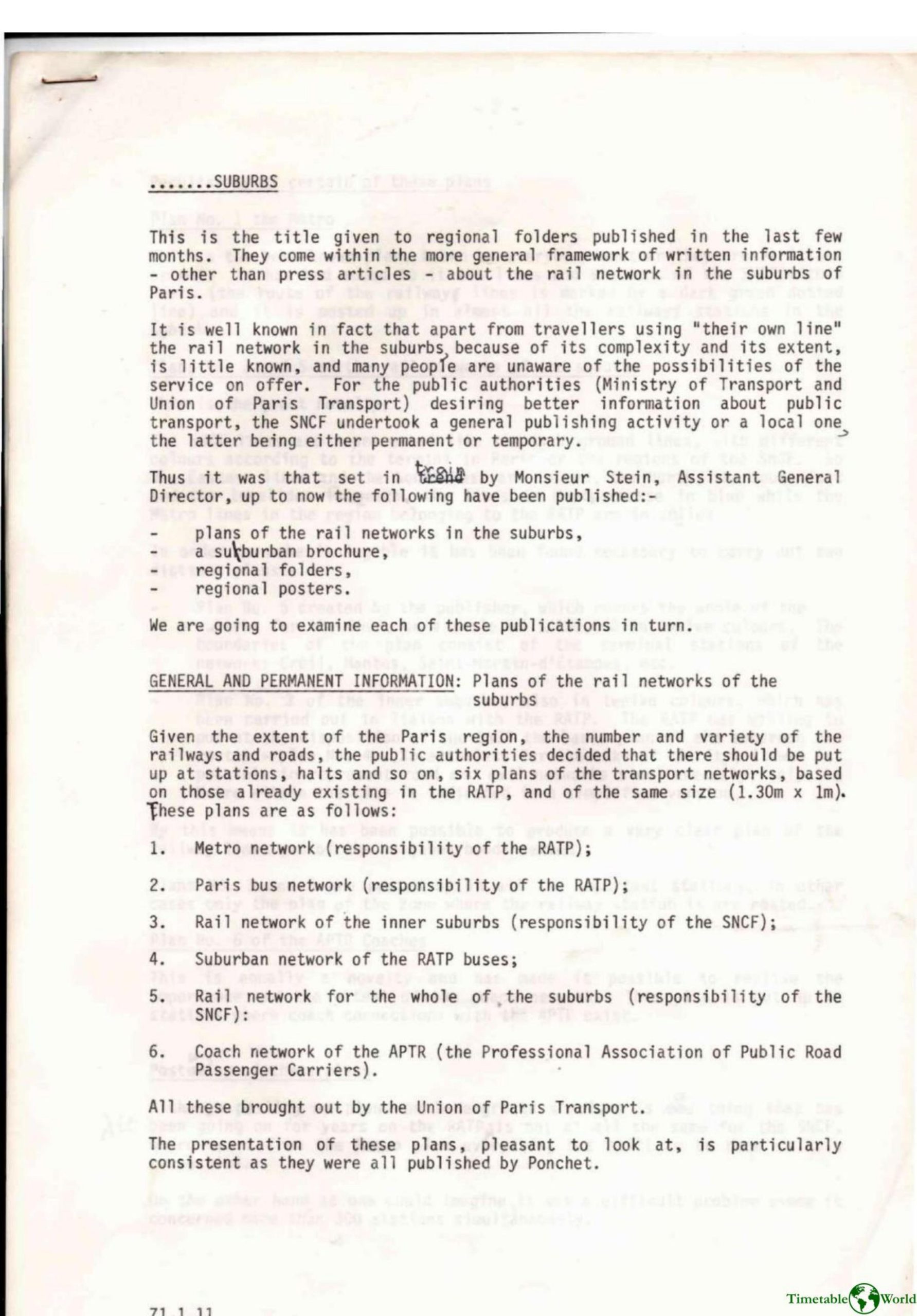
Ministry of Transport (France) – SUBURBS 1980
£0.00
A downloadable PDF file for your personal use. Timetable World has applied OCR to make the text searchable, and each page carries a small Timetable World logo.
Description
In response to the complexity and poor public knowledge of Paris suburban transport, SNCF—working with the Ministry of Transport, RATP and the Union of Paris Transport—launched a major information campaign publishing regional folders, brochures, posters and six large permanent network plans for stations: Metro, Paris bus, inner-suburb rail, suburban bus, whole-suburb rail and APTR coach routes. Plans No. 3 (inner suburbs) and No. 5 (whole suburbs) are novel multi-colour maps clarifying SNCF lines; they are widely posted with protective rigid transparent covers after trials to resist weather and vandalism. Local and temporary materials include illustrated brochures, regional folders on service improvements, electrification, timetables, ticket-machine guidance and combined SNCF/RATP cards, plus posters announcing rolling-stock changes and new stations. Station information boards (tele-posters) have been installed broadly, with movable strips preferred and roller systems trialled. A careful 12-colour printing process produces the maps. The campaign will continue to publicize ongoing upgrades and present SNCF as a modern suburban transport provider.
Additional information
| Pages | 8 |
|---|---|
| Filesize | 1.9Mb |
Related products
-
Anon – ONLY CONNECT 1987
£0.00 Add to basket -

Allsop – DETERMINING WHICH REQUIREMENTS OF PUBLIC TRANSPORT USERS IN LARGE CITIES COULD BE MET BY MODERN INFORMATION TECHNOLOGY 1987
£0.00 Add to basket -
Accent Marketing & Research – MAPS AND TIMETABLES AT BUS STOPS 1999
£0.00 Add to basket -

Association of Transport Co-ordinating Officers – PUBLIC TRANSPORT INFORMATION GOOD PRACTICE 2005
£0.00 Add to basket