
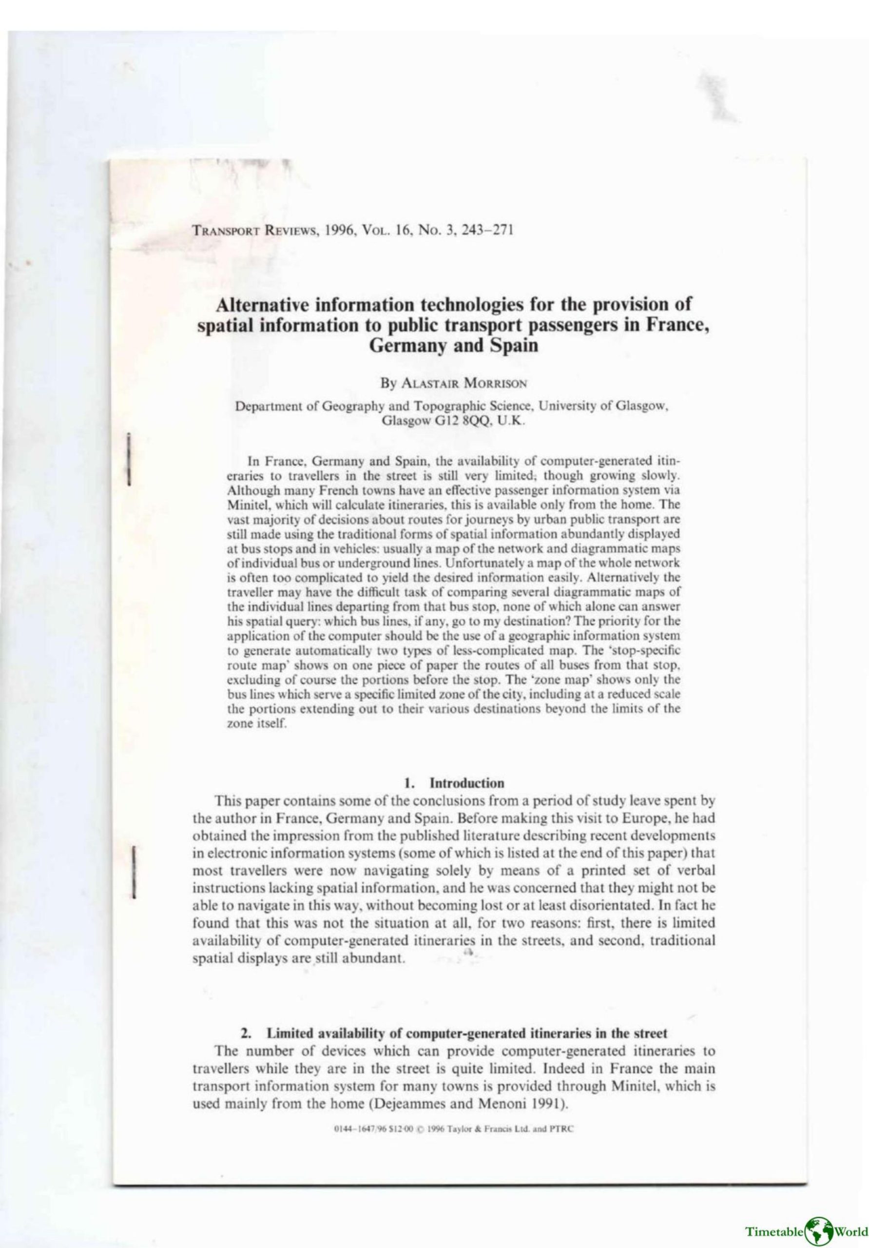
Morrison – ALTERNATIVE INFORMATION TECHNOLOGIES FOR THE PROVISION OF SPATIAL INFORMATION TO PUBLIC TRANSPORT PASSENGERS IN FRANCE, GERMANY AND SPAIN 1996
£0.00
A downloadable PDF file for your personal use. Timetable World has applied OCR to make the text searchable, and each page carries a small Timetable World logo.
Description
During visits to France, Germany and Spain the author found that, in the early 1990s, computer-generated public-transport itineraries available in the street were still scarce despite slow growth. France’s widespread Minitel provided effective home-based route queries, while public terminals (e.g. Bustop, Autoplus, EFA, Digiplan) existed in limited numbers and often supplied text-only directions or simple diagrams. Meanwhile traditional spatial displays—whole-network maps and line diagrammatics—remained the primary in-street information but frequently failed users: network maps are often too complex and multi-coloured to read quickly, and individual line diagrams lack clear orientation, ‘‘you are here’’ marks, or integration across lines. The paper argues that geographic information systems should be used to produce two tailored, paper-based map types: stop-specific route maps (showing only routes from a given stop) and zone maps (detailed central zone with reduced-scale radiating routes). Automatically generating many simpler, targeted maps is presented as more cost-effective and user-friendly than deploying terminals at every stop.
Additional information
| Pages | 21 |
|---|---|
| Filesize | 5.7Mb |
Related products
-

American Public Transit Association – TIMETABLES 1982
£0.00 Add to basket -
Association of Transport Co-ordinating Officers – PRINTED PUBLIC TRANSPORT INFORMATION 2001
£0.00 Add to basket -
Anceresi, Gatti, Vecchi, Marelli and Rinaldi – A MAP OF WORDS 2023
£0.00 Add to basket -

Association of Transport Co-ordinating Officers – PUBLIC TRANSPORT INFORMATION GOOD PRACTICE 2005
£0.00 Add to basket