
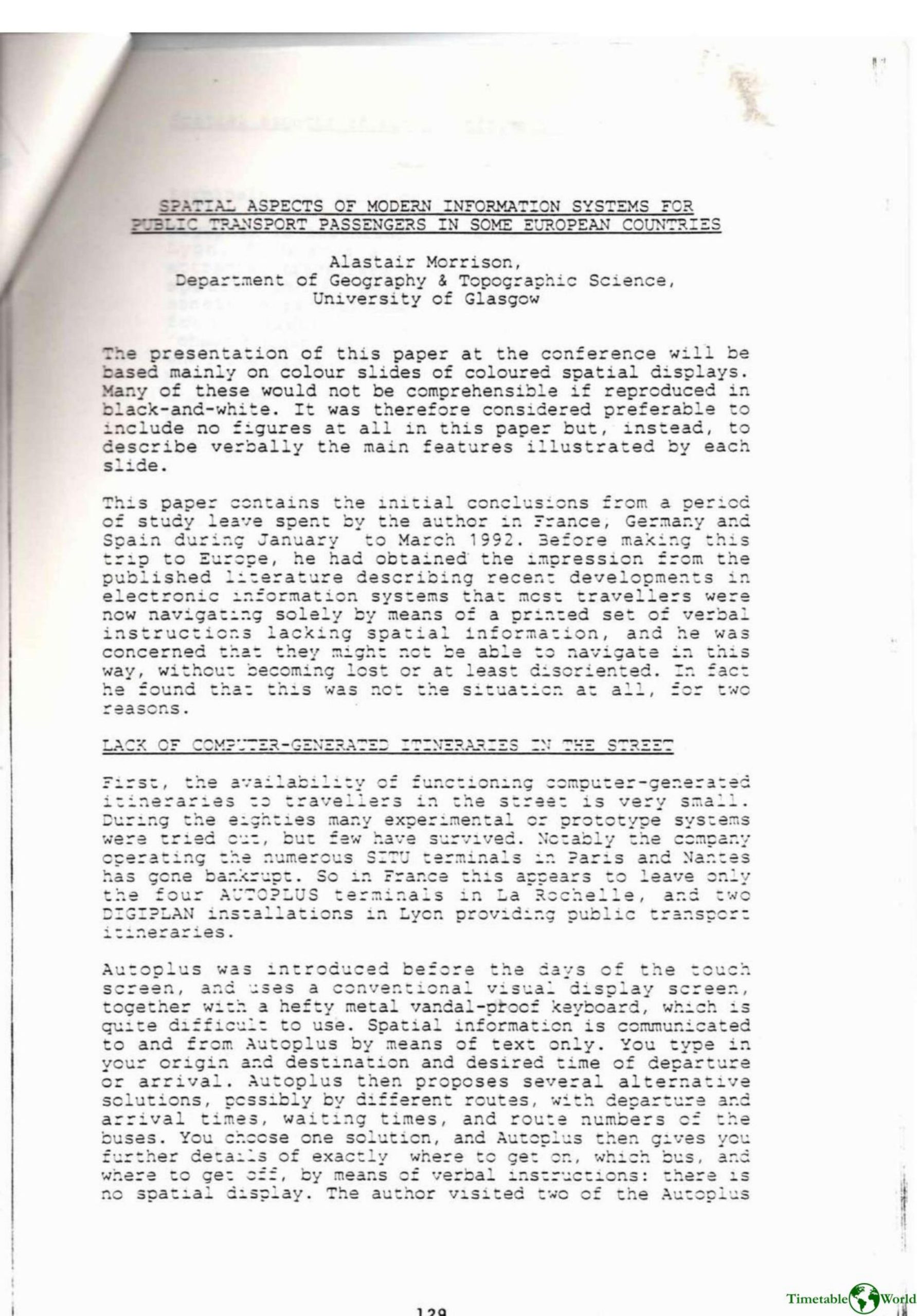
Morrison – SPATIAL ASPECTS OF MODERN INFORMATiON SYSTEMS FOR PUBLIC TRANSPORT PASSENGERS IN SOME EUROPEAN COUNTRIES 1993
£0.00
A downloadable PDF file for your personal use. Timetable World has applied OCR to make the text searchable, and each page carries a small Timetable World logo.
Description
Alastair Morrison’s 1992 study of public transport information in France, Germany and Spain found that computer-generated street terminals are rare and many experimental systems failed; where present (Autoplus, Digiplan, Minitel, EFA) they mainly offer verbal itineraries and limited spatial displays. Traditional spatial information—network maps and diagrammatic route maps at stops and in vehicles—remains the primary navigation aid. However, these conventional displays have shortcomings: whole-network maps are often too complex or use indistinct colours, and individual route diagrams frequently lack clear direction, ‘you are here’ markers, consistent orientation, and integration across routes. Morrison argues the cost-effective remedy is not more terminals but GIS-produced paper displays tailored to users’ needs: zone maps (large-scale central zone with progressively reduced scale outward) and stop-specific route maps (showing all outbound routes from a stop, oriented to read up). These computer-generated maps would be clearer, easier to produce and revise, and preferable to replacing spatial displays with verbal itineraries.
Additional information
| Pages | 8 |
|---|---|
| Filesize | 2.7Mb |
Related products
-
Association of Transport Co-ordinating Officers – PRINTED INFORMATION AT BUS STOPS 2004
£0.00 Add to basket -
Annear – A TWIST ON THE MBTAS MAP DESIGN 2014
£0.00 Add to basket -

Association of Train Operating Companies – PROVISION OF CUSTOMER INFORMATION 2016
£0.00 Add to basket -
Accent Marketing & Research – BUS STATION INFORMATION 1998
£0.00 Add to basket