
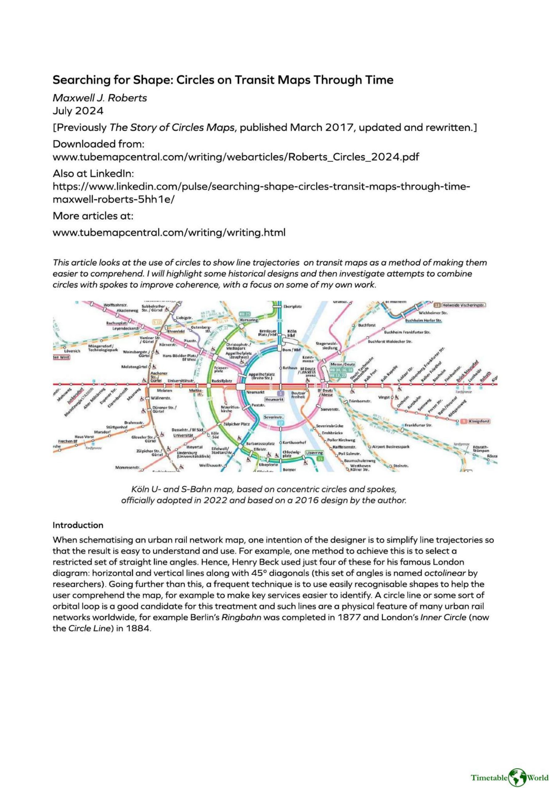
Roberts M – SEARCHING FOR SHAPE 2024
£0.00
A downloadable PDF file for your personal use. Timetable World has applied OCR to make the text searchable, and each page carries a small Timetable World logo.
Description
Maxwell J. Roberts’ article examines the use of circles to represent orbital lines on transit maps as a means to simplify route comprehension, surveying historical and modern designs and his own work. He shows early successful hybrids—most notably the 1931 Berlin S‑Bahn map—that rendered the Ringbahn as a perfect circle integrated with octolinear straight lines, and explains why integration matters: straight segments should meet curves tangentially or perpendicularly to avoid visual conflict. He contrasts this with less successful examples, such as a 1936 Paris lottery map that used a circle but left chaotic inner angles, and 1970s Moscow diagrams that were striking yet suffered congested station names. With computer tools, new hybrid experiments emerged, including Rafa Sañudo’s 2007 Madrid proposal using all circular arcs. Roberts emphasizes that circles can anchor schematic clarity only if the rest of the network follows compatible, orderly rules; challenges remain in label placement, line divergence, and preserving usability when mixing geometries.
Additional information
| Pages | 4 |
|---|---|
| Filesize | 1.2Mb |
Related products
-
Attoma, Dubuc and Boyer-Moraes – MAPS BY ATTOMA 2014
£0.00 Add to basket -

Association of Train Operating Companies Information Development Group – GOOD PRACTICE GUIDES FOR CUSTOMER INFORMATION 2013
£0.00 Add to basket -
Association of Transport Co-ordinating Officers – PRINTED PUBLIC TRANSPORT INFORMATION 2001
£0.00 Add to basket -
Attoma – MAPPING MOBILITY 2024
£0.00 Add to basket