
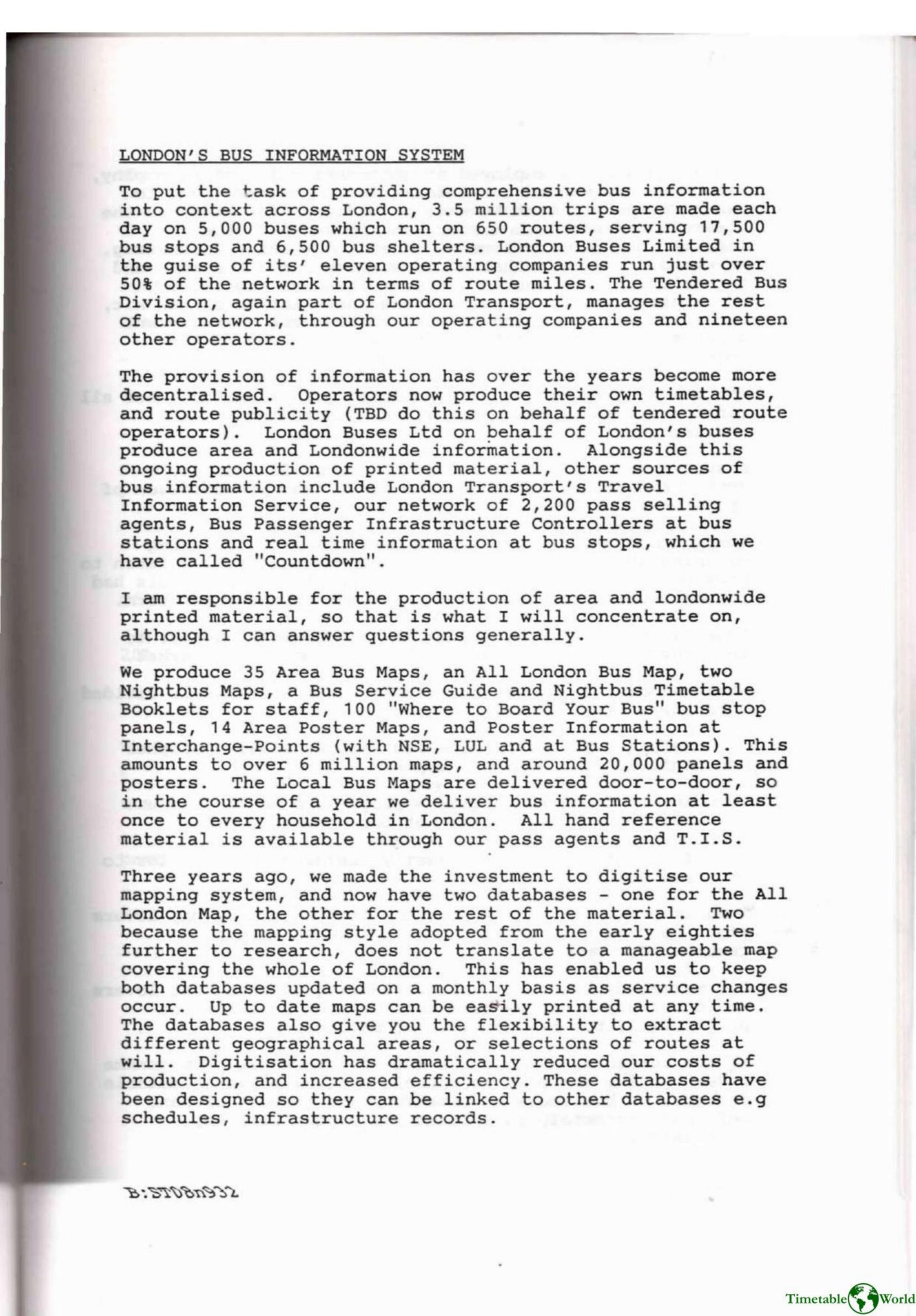
Taylor – LONDONS BUS INFORMATION SYSTEM 1993
£0.00
A downloadable PDF file for your personal use. Timetable World has applied OCR to make the text searchable, and each page carries a small Timetable World logo.
Description
London’s bus network carries 3.5 million trips daily on 5,000 buses across 650 routes, serving 17,500 stops and 6,500 shelters. Responsibility for information is decentralized: operators produce timetables while London Buses Ltd supplies area- and Londonwide printed material alongside Travel Information Service, 2,200 pass agents, station controllers and real‑time “Countdown” displays. The marketing team produces 35 Area Bus Maps, an All‑London map, Nightbus materials, guides and some 20,000 panels/posters—over 6 million maps delivered annually, with local maps distributed door‑to‑door. Digitisation three years ago created two regularly updated map databases, enabling flexible extracts, integration with schedules/infrastructure and reduced production costs. An international design review by Fitch RS produced a clearer, consistent system (red bar, typefaces, operator identity). Market research segmented users into information lovers, pragmatists and phobics, focusing on pragmatists. A 30‑stop trial showed the new infrastructure elements (stop names, directional statements, E‑plates, colour coding, timetables) were clearer, more appealing, raised usefulness scores (name 7.54, direction 7.48/10), increased likely usage and improved company image. Implementation planning is underway.
Additional information
| Pages | 3 |
|---|---|
| Filesize | 0.9Mb |
Related products
-

Association of Transport Co-ordinating Officers – PRINTED PUBLIC TRANSPORT INFORMATION 2003
£0.00 Add to basket -
Association of Train Operating Companies – PASSENGER INFORMATION DURING DISRUPTION 2014
£0.00 Add to basket -

Association of Train Operating Companies Passenger Information Strategy Group – GOOD PRACTICE GUIDES FOR PROVIDING INFORMATION TO PASSENGERS 2008
£0.00 Add to basket -
Anon – ONE-DIMENSIONAL TIMETABLES 1993
£0.00 Add to basket