
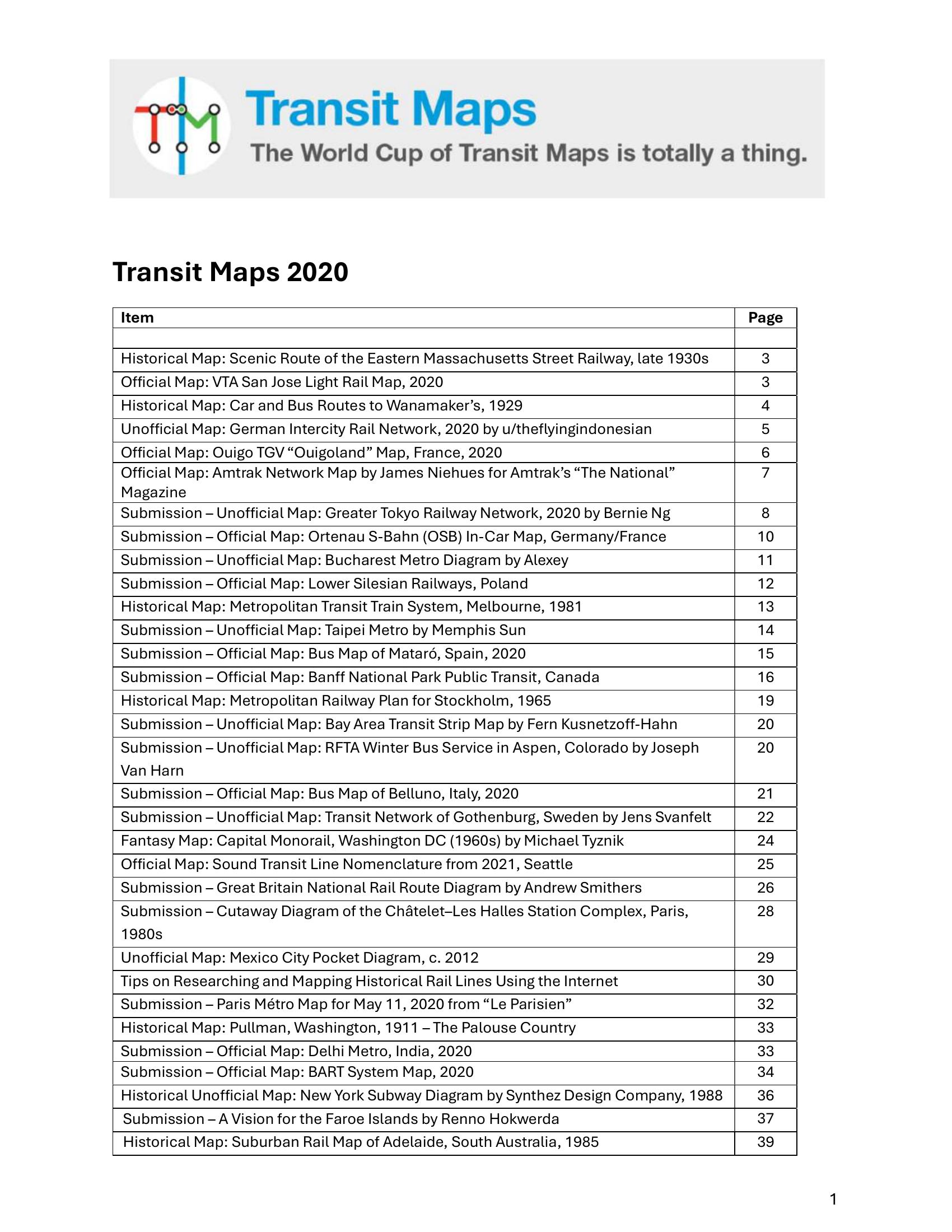
Booth – TRANSIT MAPS 2020 2020
£0.00
A downloadable PDF file for your personal use.
Description
Transit Maps 2020 is a curated review of historical, official, unofficial and fantasy transit maps from the 1920s–2020, assessing clarity, legibility, visual style and usefulness. Entries span ornate historical artifacts and contemporary fan and official diagrams, with recurring praise for strong artistry, informative insets and improved legibility, and recurring criticism of poor colour choices, inconsistent labelling, misleading scales, lack of route detail and poor colour‑blind accessibility. Notable highlights include Bernie Ng’s Greater Tokyo map, Joseph Van Harn’s Aspen winter‑bus map and Andrew Smithers’ Great Britain diagram; other features examine projects from Stockholm, Taipei, Tokyo, Sydney, Tel Aviv, Denver and more. The site provides practical research tips for mapping old rail lines—intensive web searches, period county atlases, USGS TopoView, archives, Official Guide timetables and satellite “scars” when plotting in Google Maps. Across reviews the collection emphasizes balancing aesthetic design with practical wayfinding, composition, hierarchy, historical context and thoughtful typography as keys to successful transit cartography.
Additional information
| Pages | 86 |
|---|---|
| Filesize | 6.8Mb |
Related products
-
Annear – A TWIST ON THE MBTAS MAP DESIGN 2014
£0.00 Add to basket -
Anon – ONLY CONNECT 1987
£0.00 Add to basket -

Association of Train Operating Companies Passenger Information Strategy Group – GOOD PRACTICE GUIDES FOR PROVIDING INFORMATION TO PASSENGERS 2008
£0.00 Add to basket -
Anon – PICTURE THE TRANSIT SYSTEM EFFECTIVELY WITH A ROUTE MAP 1970
£0.00 Add to basket