
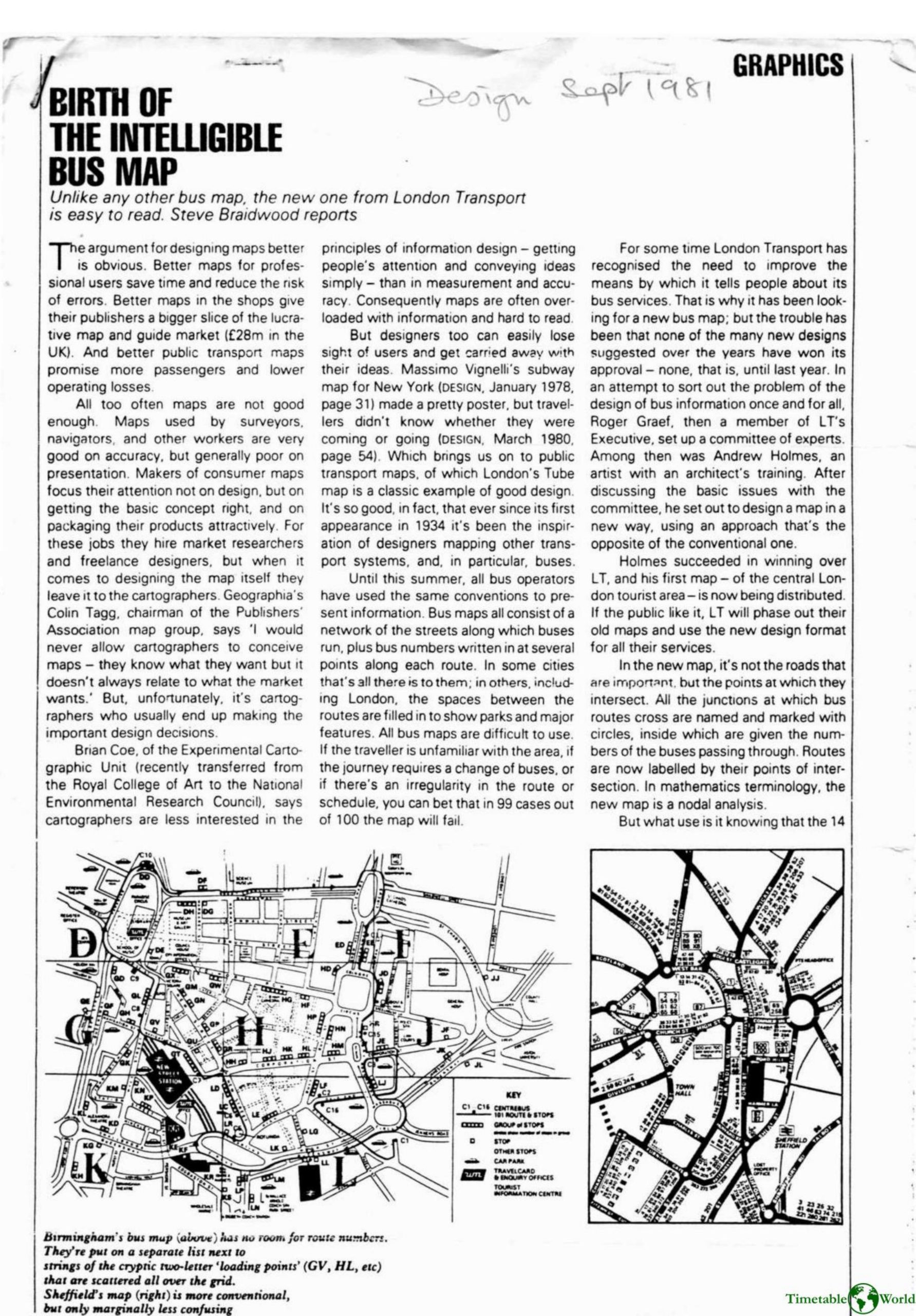
Braidwood – BIRTH OF THE INTELLIGIBLE BUS MAP 1981
£0.00
A downloadable PDF file for your personal use. Timetable World has applied OCR to make the text searchable, and each page carries a small Timetable World logo.
Description
London Transport sought a clearer bus map after conventional designs—street-based layouts crowded with route numbers—proved confusing for unfamiliar travellers or multi-leg journeys. A committee led to Andrew Holmes’ innovative nodal map, first issued for central London. Instead of emphasising roads, it names and marks junctions with circles that list buses passing through; routes are referenced by their intersections. About 100 routes are grouped into four colour-coded directional families (red, blue, green, black), shown as fine coloured lines along broad yellow-orange bands that lift the bus network off a pale background of streets, parks, the Thames and landmarks. A fixed colour order improves legibility even in poor lighting. The design simplifies transfers, makes route changes easier to amend, and supports diagrammatic stop information. Its precise, intersection-based logic also allows computer lookups (e.g., common routes or crossing points), opening possibilities for electronic route-finders and bus-route calculators. LT may replace old maps if public response is positive.
Additional information
| Pages | 2 |
|---|---|
| Filesize | 1.2Mb |
Related products
-
Anon – ONLY CONNECT 1987
£0.00 Add to basket -
Accent Marketing & Research – MAPS AND TIMETABLES AT BUS STOPS 1999
£0.00 Add to basket -
Anon – PICTURE THE TRANSIT SYSTEM EFFECTIVELY WITH A ROUTE MAP 1970
£0.00 Add to basket -
Allsop – DETERMINING WHICH REQUIREMENTS OF PUBLIC TRANSPORT USERS IN LARGE CITIES COULD BE MET BY MODERN INFORMATION TECHNOLOGY 1987
£0.00 Add to basket