
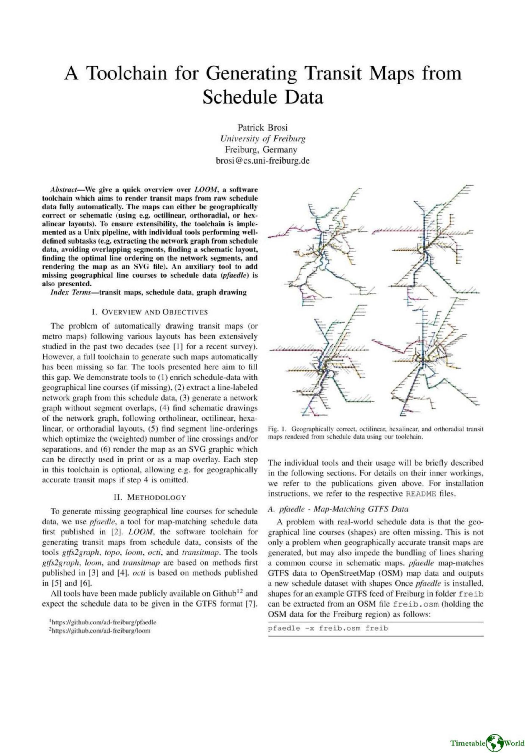
Brosi – A TOOLCHAIN FOR GENERATING TRANSIT MAPS FROM SCHEDULE DATA 2002
£0.00
A downloadable PDF file for your personal use. Timetable World has applied OCR to make the text searchable, and each page carries a small Timetable World logo.
Description
LOOM is an open-source Unix-style toolchain for automatically generating transit maps from GTFS schedule data, producing either geographically accurate or schematic maps (octilinear, orthoradial, hexalinear, ortholinear). Implemented as modular pipeline tools, it comprises pfaedle (map-matching GTFS to OpenStreetMap to add missing line shapes), gtfs2graph (extracts a line-labeled network graph), topo (removes overlapping segments), loom (optimizes line ordering to minimize crossings/separations), octi (creates schematic layouts with options for base grids, obstacle avoidance, and geo-course approximation), and transitmap (renders SVG with styling and preliminary labeling). Each step is optional, enabling pure geographic maps or full schematization. Output SVGs are editable and usable as interactive web overlays (e.g., Leaflet). The authors provide installation instructions, usage examples, and code on GitHub, positioning the toolchain as a basis for research, fast map prototyping, and generation of web-friendly or human-polishable transit maps.
Additional information
| Pages | 2 |
|---|---|
| Filesize | 0.8Mb |
Related products
-

American Public Transit Association – TIMETABLES 1982
£0.00 Add to basket -

Association of Transport Co-ordinating Officers – PUBLIC TRANSPORT INFORMATION GOOD PRACTICE 2005
£0.00 Add to basket -

Accent Marketing & Research – BUS STATION INFORMATION 1998
£0.00 Add to basket -
Accent Marketing & Research – MAPS AND TIMETABLES AT BUS STOPS 1999
£0.00 Add to basket