
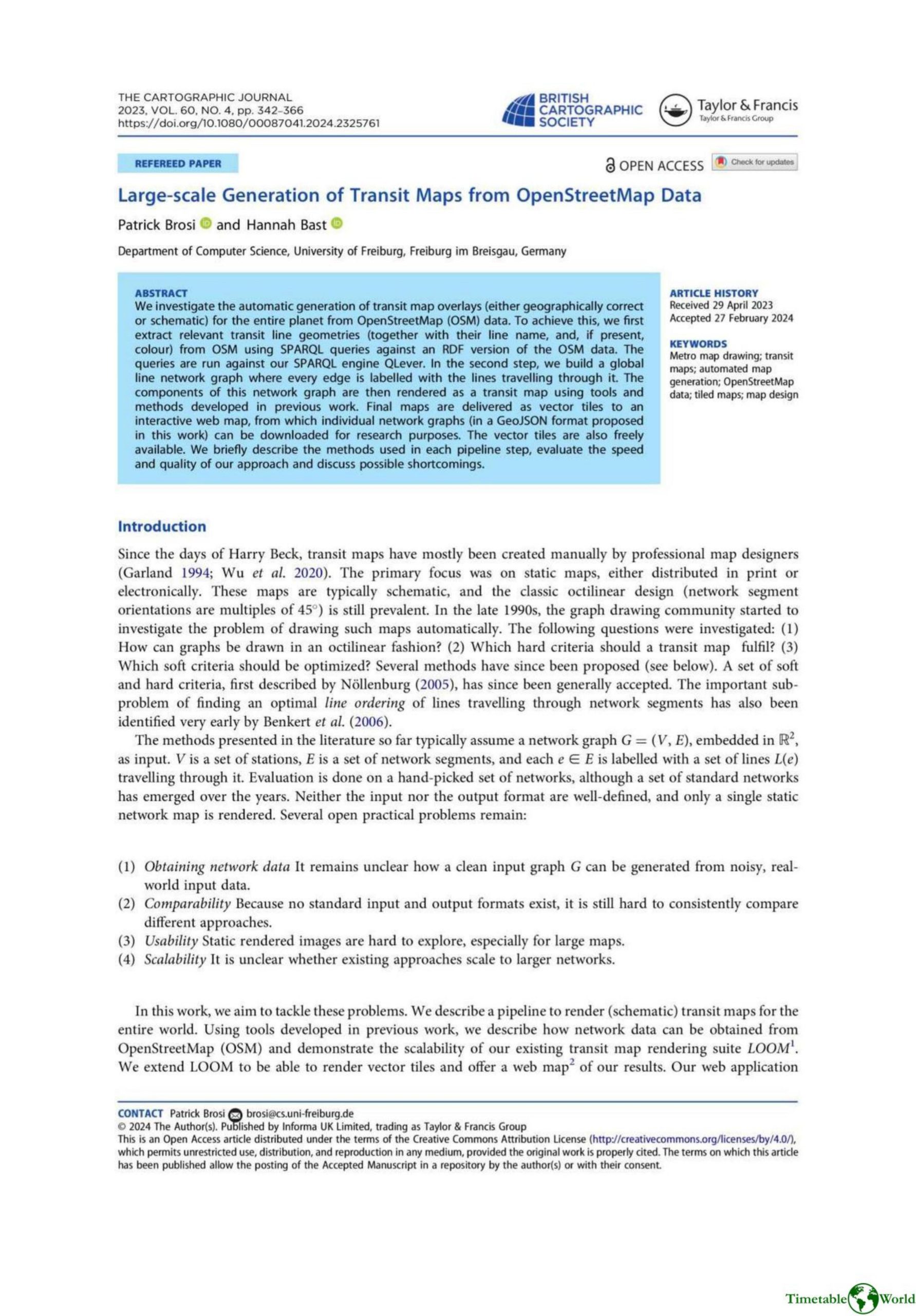
Brosi and Bast – LARGE-SCALE GENERATION OF TRANSIT MAPS FROM OPENSTREETMAP DATA 2023
£0.00
A downloadable PDF file for your personal use. Timetable World has applied OCR to make the text searchable, and each page carries a small Timetable World logo.
Description
The paper describes a scalable end-to-end pipeline for automatically generating schematic and geographically correct transit maps worldwide from OpenStreetMap (OSM). It converts OSM to RDF, queries networks via SPARQL/QLever, and produces GeoJSON line graphs. An overlap-free “free line graph” is built by sampling polylines, merging nearby nodes while blocking harmful merges to prevent “line creep,” cropping and smoothing intersections, and clustering stops; turn restrictions are inferred by tracking merged edges and comparing shortest-path costs. Line-ordering is optimized via a new weighted node-only crossing and separation model (MLNCM-WS), reduced by polynomial graph-reduction rules and solved with greedy lookahead plus simulated annealing. Schematization embeds networks into configurable grids (octilinear, geo-octilinear, orthoradial), models bend/displacement costs, computes constrained shortest paths, and refines results with local search. Rendering produces Mapbox-style vector tiles with Bézier connections; LOOM was extended and exposed in a web app. Tools and data are open source. Results: global transit maps generated within practical runtimes, with limitations from OSM quality, memory/density, topology errors, and heuristics.
Additional information
| Pages | 25 |
|---|---|
| Filesize | 9.6Mb |
Related products
-

Association of Train Operating Companies – HOW TO PRESENT TIMETABLE INFORMATION 2005
£0.00 Add to basket -

Association of Train Operating Companies – PRESENTATION OF TIMETABLE INFORMATION 1997
£0.00 Add to basket -
Accent Marketing & Research – MAPS AND TIMETABLES AT BUS STOPS 1999
£0.00 Add to basket -
Allard – THE DESIGN OF PUBLIC TRANSPORT MAPS 2009
£0.00 Add to basket