
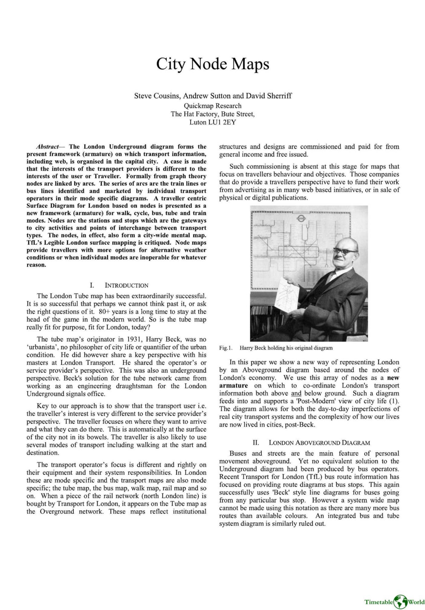
Cousins, Sutton and Sherrif – CITY NODE MAPS 2014
£0.00
A downloadable PDF file for your personal use. Timetable World has applied OCR to make the text searchable, and each page carries a small Timetable World logo.
Description
The authors argue that London’s iconic Tube map reflects a service-provider, mode-specific perspective and is an inadequate armature for modern, multimodal traveller needs. They present Quickmap’s node-based Aboveground diagram, which treats stations, stops and activity centres as surface “nodes” and integrates walking, buses, cycles, tube and rail on a single, travel-centric framework. Node maps better represent surface geography, support alternative routes when lines fail (illustrated by 7 July 2005 disruptions), fit compact formats for mobile use, and enable time- and character-based walk or cycle diagrams. Quickmap’s maps won awards and have been published in several combined formats since 1999. The paper critiques TfL’s Legible London plinths for design and limited measured impact, argues for balancing simplicity and necessary complexity, and shows node density differences across cities. The conclusion calls for a new surface armature based on city activity nodes to give travellers—rather than operators—clearer, more resilient transport information.
Additional information
| Pages | 8 |
|---|---|
| Filesize | 3Mb |
Related products
-
American Public Transit Association – TRANSIT MAPS 1984
£0.00 Add to basket -
Allsop – DETERMINING WHICH REQUIREMENTS OF PUBLIC TRANSPORT USERS IN LARGE CITIES COULD BE MET BY MODERN INFORMATION TECHNOLOGY 1987
£0.00 Add to basket -
Anon – PICTURE THE TRANSIT SYSTEM EFFECTIVELY WITH A ROUTE MAP 1970
£0.00 Add to basket -
Association of Transport Co-ordinating Officers – PRINTED PUBLIC TRANSPORT INFORMATION 2003
£0.00 Add to basket