
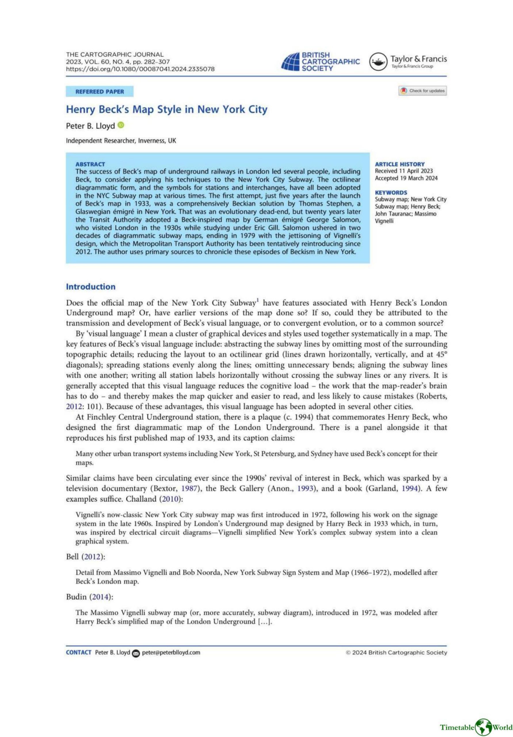
Lloyd – HENRY BECKS MAP STYLE IN NEW YORK CITY 2023
£0.00
A downloadable PDF file for your personal use. Timetable World has applied OCR to make the text searchable, and each page carries a small Timetable World logo.
Description
The article documents how Henry Beck’s diagrammatic innovations—abstraction of topography, octilinear geometry, evenly spaced stations, and horizontal labels—were selectively transmitted to New York subway mapping. Early adopters included Thomas Stephen’s 1938 map and Arthur Weindorf’s independent schematics; Beck himself apparently offered a redesign in 1951 but left no record. The decisive conduit was George Salomon (c.1955–58), whose rigorous octilinear map and new transfer conventions guided official diagrams for about two decades and prefigured later trunk-based reforms. The narrative corrects the myth that Massimo Vignelli (1972) introduced Beckian style to NYC: Vignelli revived octilinearity and route colour-coding in a minimalist register, while the 1967 Chrystie Street upheaval produced complex experimental prototypes. The Tauranac Committee’s 1979 replacement favored geographically grounded, trunk-coloured maps driven by institutional marketing priorities rather than popular rejection. The article concludes that persistent tensions—clarity versus geographic fidelity, route complexity, and transfer symbolism—reflect institutional aims and history more than any inherent unsuitability of diagrammatic maps.
Additional information
| Pages | 26 |
|---|---|
| Filesize | 9.9Mb |
Related products
-
Association of Transport Co-ordinating Officers – PRINTED PUBLIC TRANSPORT INFORMATION 2001
£0.00 Add to basket -
Association of Train Operating Companies – PASSENGER INFORMATION DURING DISRUPTION 2014
£0.00 Add to basket -

Association of Train Operating Companies – HOW TO PRESENT TIMETABLE INFORMATION 2005
£0.00 Add to basket -
American Public Transit Association – TRANSIT MAPS 1984
£0.00 Add to basket