
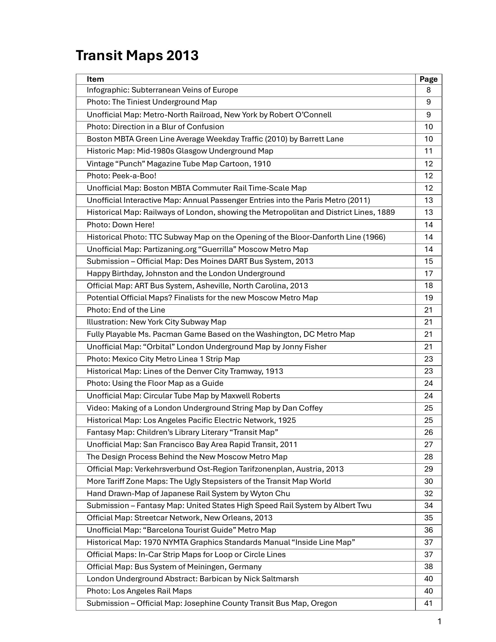
Booth – TRANSIT MAPS 2013 2013
£0.00
A downloadable PDF file for your personal use.
Description
Transit Maps 2013 is a yearlong survey of global transit cartography combining reviews, critiques, historical artifacts, creative fan work, and practical tutorials. The posts contrast strong, usable maps and imaginative redesigns with poorly executed official diagrams, repeatedly highlighting problems of labeling, hierarchy, typography, color use and legibility (including color‑blind accessibility). Recurring themes are the tension between topology and geography, the clarity of interchanges and loops, and the benefits of open, editable assets. Notable material includes historical maps and posters, inventive unofficial and guerrilla projects, a four‑part primer on sans‑serif type for transit, and many Adobe Illustrator techniques for consistent curves, labels and symbol management. The collection praises careful, user‑focused design (clear hierarchy, consistent labeling and viewing‑condition considerations), documents iterative design processes, and celebrates playful and archival pieces, while urging transit authorities to adopt clearer, more usable, and often community‑informed mapping practices.
Additional information
| Pages | 290 |
|---|---|
| Filesize | 22.6Mb |
Related products
-

Association of Train Operating Companies Information Development Group – GOOD PRACTICE GUIDES FOR CUSTOMER INFORMATION 2013
£0.00 Add to basket -
Association of Train Operating Companies – PASSENGER INFORMATION DURING DISRUPTION 2014
£0.00 Add to basket -

Association of Train Operating Companies Passenger Information Strategy Group – GOOD PRACTICE GUIDES FOR PROVIDING INFORMATION TO PASSENGERS 2008
£0.00 Add to basket -
Accent Marketing & Research – BUS STATION INFORMATION 1998
£0.00 Add to basket