
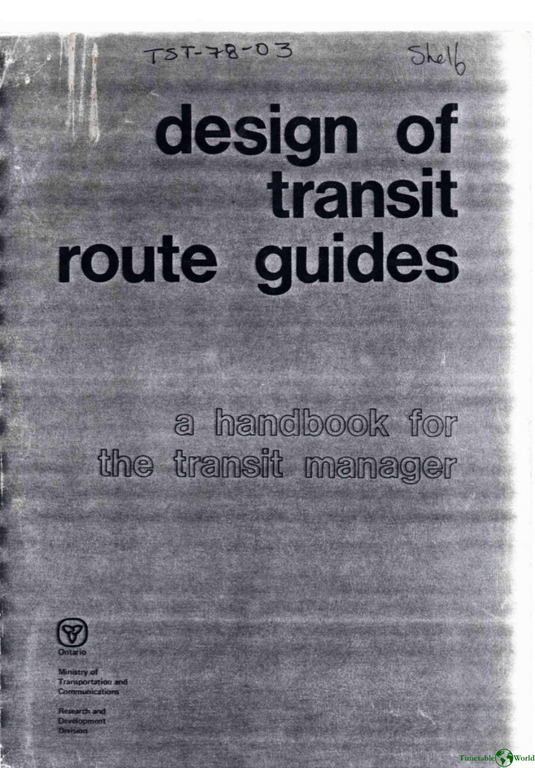
Geehan, Stanton, Deslauriers and Coughlin – DESIGN OF TRANSIT ROUTE GUIDES 1978
£0.00
A downloadable PDF file for your personal use. Timetable World has applied OCR to make the text searchable, and each page carries a small Timetable World logo.
Description
This 1978 handbook advises transit managers on designing clear, user-focused printed route guides. It stresses that poor or complex information deters new riders and that guides must serve information, marketing, and PR roles. Essential content includes route geography, network layout, schedules, fares, passenger education (boarding, fares, signs), and points of interest. Format and timetable options are evaluated—schematic vs. non-schematic maps, single-route vs. panoramic layouts, and detailed, modified, condensed, or graphic timetables—with preference for non-schematic/panoramic maps and detailed timetables. Practical guidance covers base maps, consistent legends, distinct route differentiation, checkpoints, legible typography, explanatory notes, production specifications, cost/update strategies, and a sample printing RFQ. Distribution methods include drivers, public displays, mailings, and on-bus racks. An Ontario survey (five cities, 580 respondents) found many users could locate homes and transfer points but timetables and crowded/poorly labeled maps hindered trip planning: about half could not plan trips accurately. Socio-demographics did not predict performance; clearer, self-explanatory guides are required.
Additional information
| Pages | 86 |
|---|---|
| Filesize | 17.9Mb |
Related products
-
American Public Transit Association – TRANSIT MAPS 1984
£0.00 Add to basket -
Association of Train Operating Companies – PRESENTATION OF TIMETABLE INFORMATION 1997
£0.00 Add to basket -

Association of Train Operating Companies – PROVISION OF CUSTOMER INFORMATION 2016
£0.00 Add to basket -
Anon – ONE-DIMENSIONAL TIMETABLES 1993
£0.00 Add to basket