
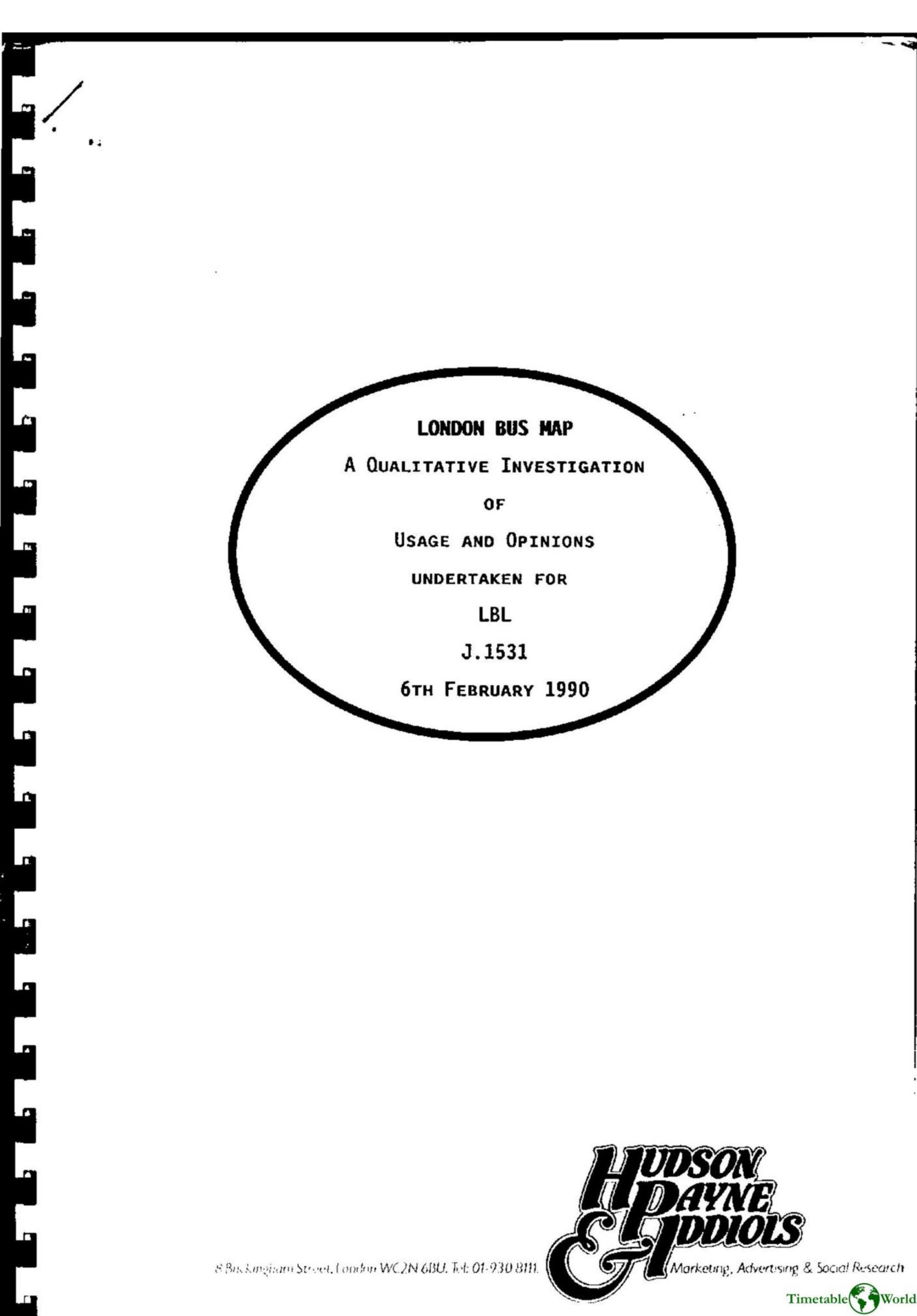
Hudson Payne and Iddiols – LONDON BUS MAP 1990
£0.00
A downloadable PDF file for your personal use. Timetable World has applied OCR to make the text searchable, and each page carries a small Timetable World logo.
Description
This qualitative study (Feb 1990) explored how travellers use and view the London Bus Map (LBM). Three group discussions (Romford, Hounslow, Enfield) with 18 participants (mixed ages, many non-car users) found most people primarily use buses for local, short trips (work, shopping, visiting), with occasional longer or central-London journeys. Nearly all had local bus maps and timetables, which are used more frequently and valued for town-centre guidance; the LBM is kept as a comprehensive reference and used infrequently for planning occasional cross-suburb or central-London trips. Respondents found the LBM comprehensive but cluttered—print size and route labeling (numbers not placed on roads) reduce usability in central areas. They wanted frequency, first/last bus and days-not-running info, and inclusion of other operators and special services. Recommendations: better targeted distribution (can be sent with local map requests), modest cover charge (~30p), and a preferred quartered format focusing on central London with suburban overlap while retaining current information.
Additional information
| Pages | 24 |
|---|---|
| Filesize | 3.2Mb |
Related products
-
Association of Transport Co-ordinating Officers – PRINTED PUBLIC TRANSPORT INFORMATION 2001
£0.00 Add to basket -
Allard – THE DESIGN OF PUBLIC TRANSPORT MAPS 2009
£0.00 Add to basket -
Association of Train Operating Companies – PASSENGER INFORMATION DURING DISRUPTION 2014
£0.00 Add to basket -
Association of Public Transport Co-ordination Officers – PUBLIC TRANSPORT INFORMATION 1982
£0.00 Add to basket