
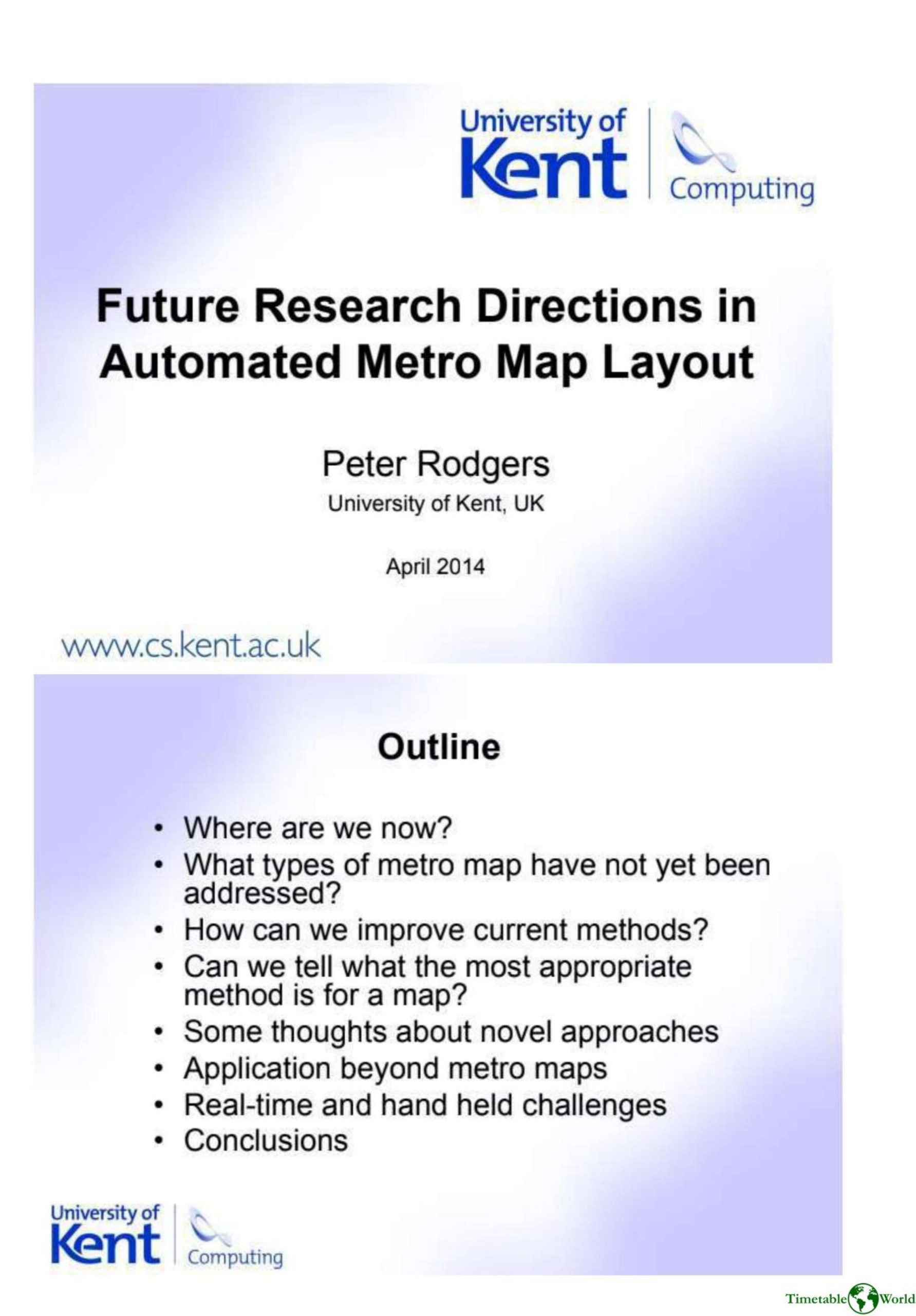
Rodgers – FUTURE RESEARCH DIRECTIONS IN AUTOMATED METRO MAP LAYOUT 2014
£0.00
A downloadable PDF file for your personal use. Timetable World has applied OCR to make the text searchable, and each page carries a small Timetable World logo.
Description
Automated metro map layout has advanced, producing reasonable octilinear and curvilinear schematics, but is not yet ready for widespread deployment. Open challenges include handling arbitrary or hybrid diagram styles, integrating subtle and region-specific aesthetic criteria, and tightly combining labelling, icons and geographic features with network layout. Progress could come from learning designer techniques, quantitatively analysing good maps, and validating findings through empirical and crowdsourced studies. Classifying maps by form (radial, orbital), size, density and complexity would help select appropriate algorithms. Novel methods—such as ant colony optimization, behavioural analysis of designers, continual refinement with user feedback, and other problem-solving approaches—are promising. Beyond metro maps, applications include bus and multi-modal schematics, simplified satnav displays, and integrated public-transport maps. Real-time and mobile use demands efficiency, editable shared formats, and personalization. While automated tools cannot yet replace human designers, they can create “good enough” schematics where design resources are impractical, given further investment and research.
Additional information
| Pages | 8 |
|---|---|
| Filesize | 1.6Mb |
Related products
-
Anon – ONE-DIMENSIONAL TIMETABLES 1993
£0.00 Add to basket -
Association of Train Operating Companies – PROVISION OF CUSTOMER INFORMATION 2016
£0.00 Add to basket -

Association of Train Operating Companies Information Development Group – GOOD PRACTICE GUIDES FOR CUSTOMER INFORMATION 2013
£0.00 Add to basket -

Association of Train Operating Companies – HOW TO PRESENT TIMETABLE INFORMATION 2005
£0.00 Add to basket