Wikipedia – NEW YORK CITY SUBWAY MAP 2025
£0.00
A downloadable PDF file for your personal use.
Description
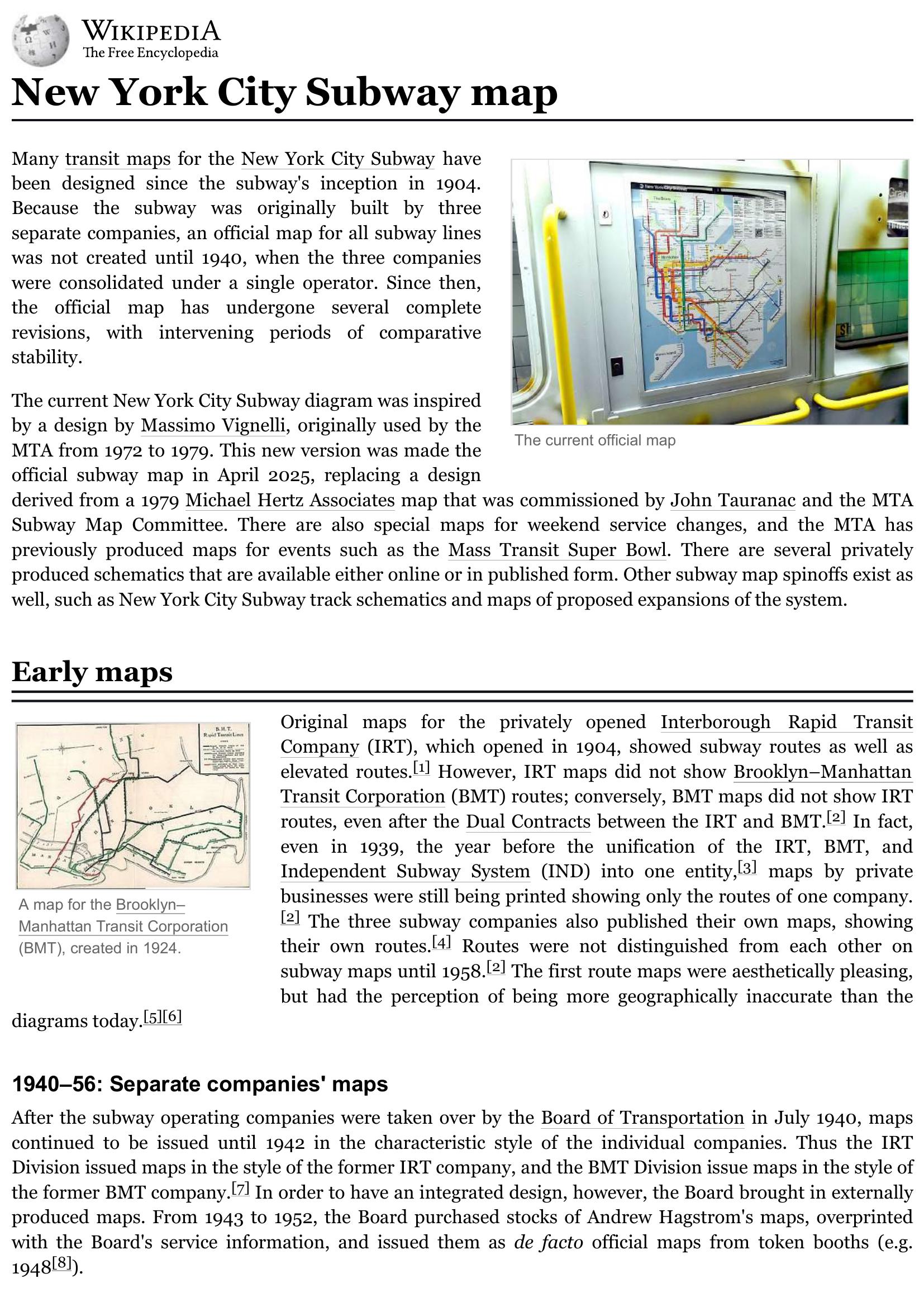
New York City’s subway maps evolved from company-specific maps (IRT, BMT, IND) into unified designs after the 1940 consolidation. Early influential designs include George Salomon’s 1958 modernist diagram and the 1964 public Subway Map Competition winner R. Raleigh D’Adamo, whose route-based color-coding was adopted in 1967. Massimo Vignelli’s geometric 1972 map won critical acclaim but proved unpopular with riders; a trunk-colored, more organic Tauranac/Hertz design replaced it in 1979 and remained the official map with updates through 2025. The MTA has produced special variants—weekend “Weekender” maps, late-night maps, regional diagrams (e.g., Super Bowl), station diagrams, and a 2020 Live Subway Map with real-time service data. Pilot maps tested Vignelli-inspired and geographically accurate concepts; in April 2025 the MTA formally adopted a modified Vignelli-style diagram that preserves trunk colors, improves transfer markers, adds commuter/airport links, and shifts away from showing street-level detail. Numerous private, artistic, and expansion schematics and digital spinoffs supplement official maps.
Additional information
| Pages | 17 |
|---|---|
| Filesize | 0.7Mb |